
Winter Storm Sweeps Across the U.S.: Over 1.1 Million Customers Lose Power and More Than 9,000 Flights Are Canceled in a Day
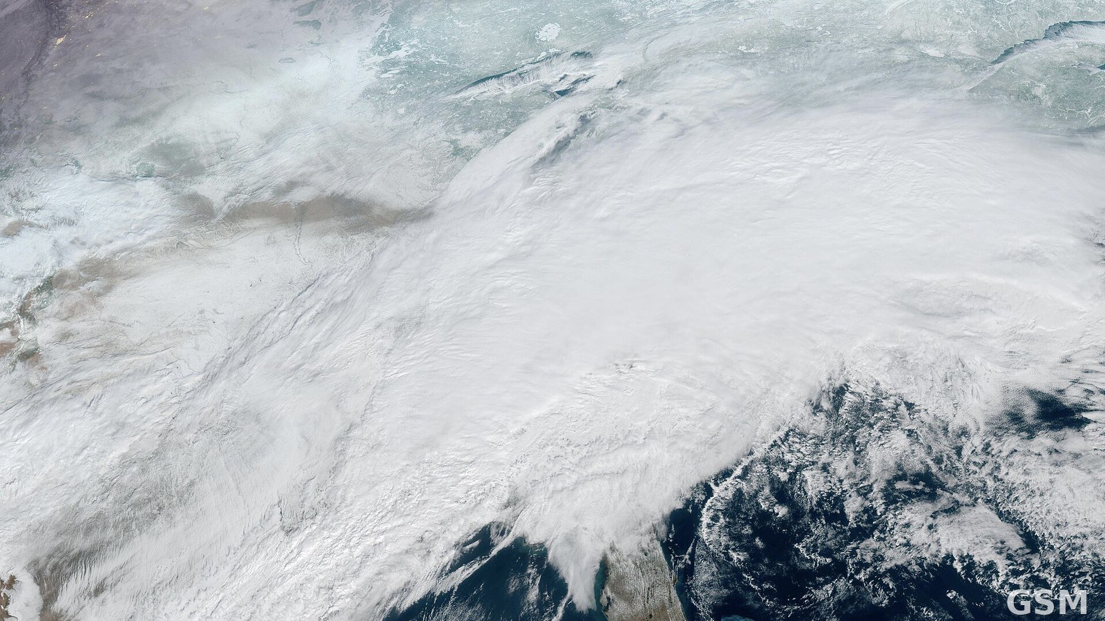
On January 25, 2026, a winter storm sweeping across much of the United States moved into the Northeast and began transitioning into a nor'easter. The storm, named Fern by The Weather Channel, had advanced from west to east since January 23. National Weather Service winter storm alerts at one point stretched nearly 2,000 miles and covered more than 230 million people, and governors in more than 20 states issued emergency declarations.
The storm brought a damaging ice storm to the South. Ice accretion reached one inch in places including northern Mississippi, snapping trees and power lines under the weight. According to data compiled by PowerOutage, synchronous outages across the United States peaked at 4:00 p.m. Eastern Time on January 25, with more than 1.1 million customers without power, including about 345,000 in Tennessee, 189,000 in Mississippi, 143,000 in Louisiana and 142,000 in Texas. In Davidson County, home to Nashville, Tennessee, more than 90 percent of customers were without power at one point that night.
Air travel was heavily disrupted as well. More than 9,000 flights were canceled across the United States on January 25, and cancellations over the weekend exceeded 11,000. The National Weather Service's Weather Prediction Center had warned of "catastrophic" ice accumulations in the South, with power outages and tree damage lingering for days and bitter cold remaining after the storm passed.
The storm's precipitation shield stretched from Texas to Maine, with snowfall of one to two feet in many places and freezing rain and sleet dominating in the South. Transportation officials urged people to avoid travel, and National Guard units in more than a dozen states were activated in advance.
Source: National Weather Service
Published by GSM · USA (original Chinese edition)
Photo: 图:美国国家海洋和大气管理局 GOES-19 卫星2026年1月25日16时20分(UTC)拍摄的这场冬季风暴云图,庞大云系覆盖美国东部。NOAA 摄,公共领域,经 Wikimedia Commons。 / Photo: GOES-19 satellite image of the winter storm taken by the National Oceanic and Atmospheric Administration on January 25, 2026, at 16:20 UTC, showing the vast cloud system over the eastern United States. Photo by NOAA, public domain, via Wikimedia Commons.
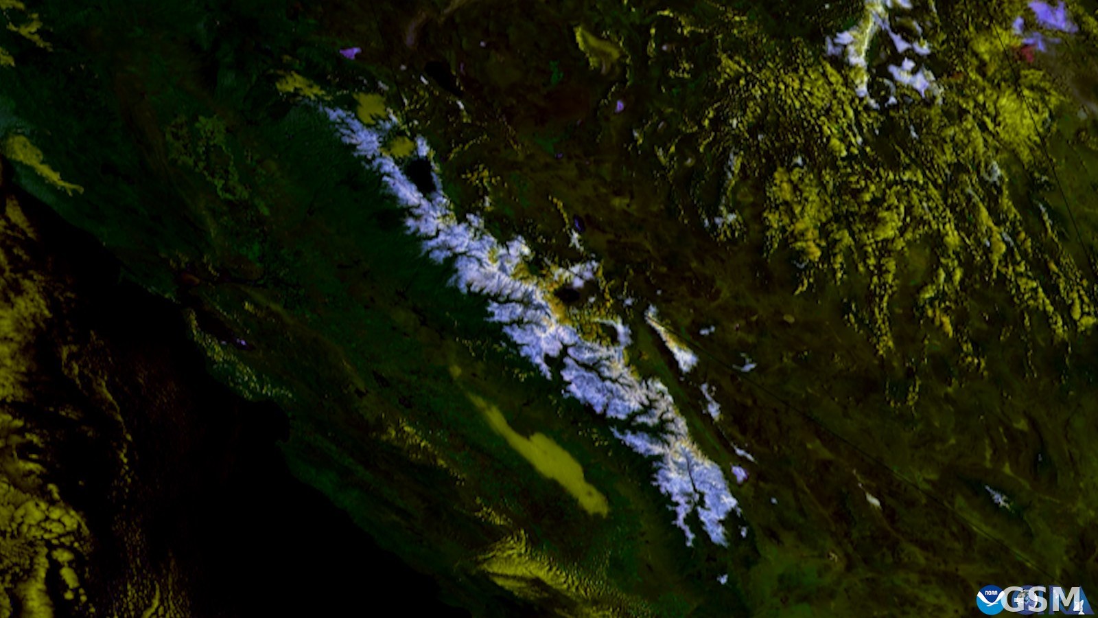 The National Weather Service Upgrades Sierra Nevada Winter Storm Watches to Warnings on November 12: About 12 Inches of Snow Above 7,000 Feet Around Lake Tahoe and Ridge Gusts of 70 to 90 Miles an Hour From Friday Morning2026-11-12
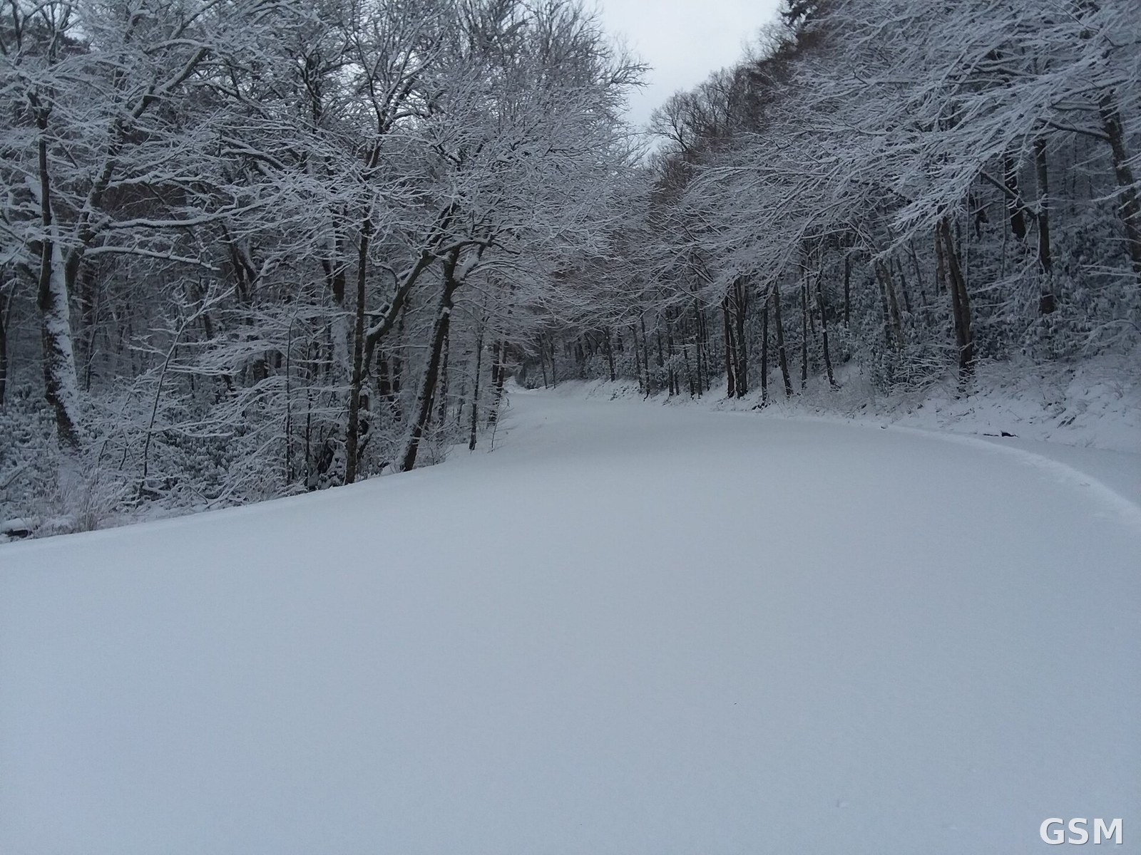 Great Smoky Mountains Newfound Gap Road Closes at 6 p.m. on November 12 for Snow: Up to 4 Inches Above 3,000 Feet, Advisory to 1 p.m. November 142026-11-12