
Severe Storms Sweep West Central Texas With Two Tornadic Supercells and 26 Reports
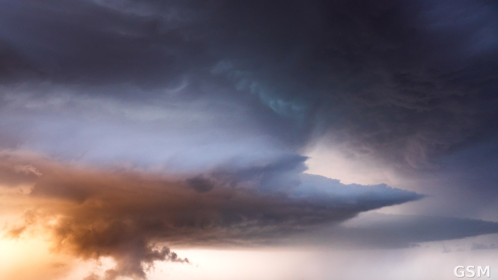
On March 28, 2026, the National Weather Service forecast office in San Angelo, Tom Green County, Texas, summarized a severe weather event across West Central Texas that day. A strong upper-level storm system approaching from New Mexico and a dryline from West Texas combined to produce scattered strong to severe thunderstorms across the Big Country during the afternoon and evening, including two tornadic supercells.
One supercell tracked north-northeast across parts of Taylor, Jones and Haskell counties, and the other moved across Fisher County, the Weather Service said. Both produced brief tornado touchdowns in open rural fields, causing only minor damage. Several storms dropped hail from quarter to golf-ball size.
Late in the evening, between 8 p.m. and midnight, a line of strong to severe storms driven by a Pacific cold front moved quickly east across nearly all of West Central Texas, with measured or reported wind gusts of 60 to 70 mph at several locations. The Weather Service received a total of 26 severe weather reports for the event. No casualties were reported in the summary.
Source: National Weather Service
Published by GSM · USA (original Chinese edition)
Photo: 图:德克萨斯州 Needmore 上空的超级单体雷暴(2019年资料照片),与国家气象局圣安吉洛办公室通报的两股龙卷超级单体同属德州强对流天气。Raychel Sanner 摄,CC BY-SA 4.0,经 Wikimedia Commons。 / Photo: A supercell thunderstorm over Needmore, Texas (2019 file photo), the same kind of severe Texas convection as the two tornadic supercells reported by the National Weather Service office in San Angelo. Photo by Raychel Sanner, CC BY-SA 4.0, via Wikimedia Commons.
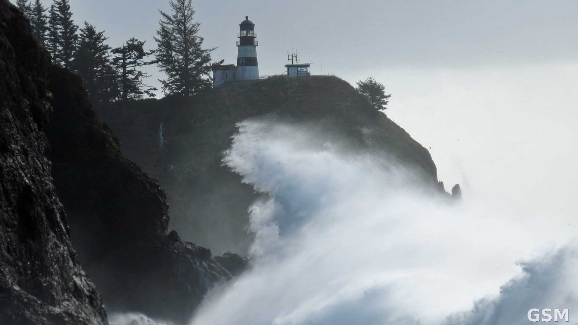 National Weather Service Portland Issues High Surf Warning for the South Washington Coast: Breakers of 30 to 35 Feet Through Noon on November 14, With an Extreme Sneaker Wave Threat on Friday Evening2026-11-13
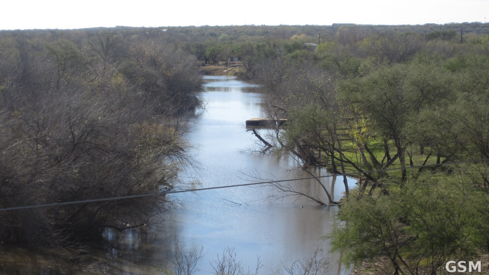 Flood Warning Continues for Texas Nueces River: Crest of 15 Feet Forecast Sunday, One Foot Above Flood Stage2026-11-13