Magnitude 6.2 Earthquake Strikes Off Davao Oriental, Philippines, at 92.8 km Depth; No Tsunami
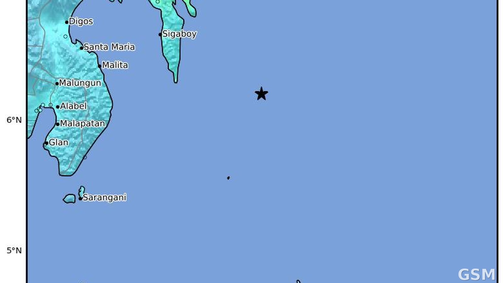
A magnitude 6.2 earthquake struck 76 kilometers east-southeast of Pondaguitan in Davao Oriental Province, Philippines, on June 15, 2026. According to the reviewed catalog of the U.S. Geological Survey (USGS), the quake occurred at 09:18 UTC (5:18 p.m. Philippine time) on June 15 at a depth of 92.76 kilometers, an intermediate-depth event.
The USGS alert level for the earthquake is green, indicating a low assessed risk of casualties and economic losses, and the earthquake generated no tsunami. The catalog records 33 felt reports and a community-determined intensity of 5.4.
This story uses the reviewed USGS parameters: the magnitude of 6.2 and the depth of 92.76 kilometers, a comparatively deep focus that is the main reason shaking was less concentrated than in a shallow strong quake. Only facts confirmed in the USGS catalog are reported, with no embellishment of casualties.
Source: U.S. Geological Survey
Published by GSM · USA (original Chinese edition)
Photo: 图:2026年6月15日菲律宾达沃东方省外海6.2级地震的震动强度分布图(本事件图)。美国地质调查局(USGS)作品,公共领域。 / Photo: ShakeMap intensity distribution for the magnitude 6.2 earthquake off Davao Oriental, Philippines, on June 15, 2026 (image of this event). Work of the U.S. Geological Survey (USGS), public domain.