California Launches First Three FireSat Wildfire-Detection Satellites, With 50-Plus Planned by 2030
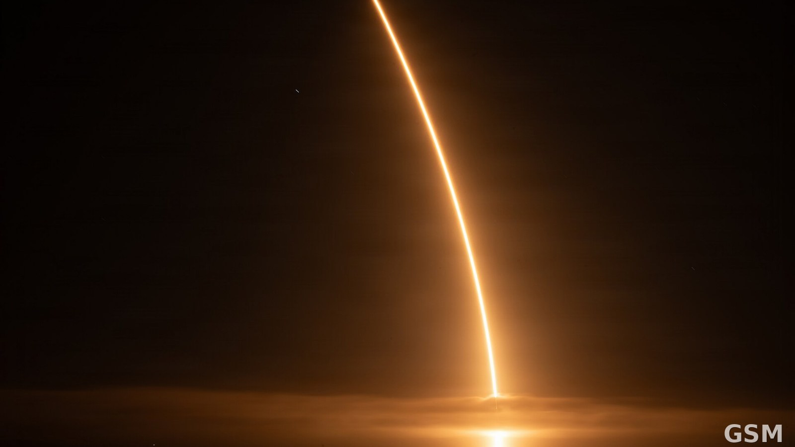
The Office of Governor Gavin Newsom announced on July 7, 2026, that the first three FireSat wildfire-detection satellites, a partnership between California and the nonprofit Earth Fire Alliance (EFA), had launched that day from Vandenberg Space Force Base in Santa Barbara County, California. The governor's office described FireSat as the first satellite system specifically designed to detect wildfires.
The three satellites, built by California-based spacecraft manufacturer Muon Space, will undergo a three-month commissioning and calibration period before beginning operational data delivery within months. The full constellation of more than 50 satellites, planned by 2030, will cover the entire planet every 20 minutes and be able to catch fires as small as a schoolyard. CAL FIRE played a foundational role in FireSat's development, conducting early testing and concept evaluation before EFA formally existed.
The governor's office also noted that California has deployed SI-powered wildfire detection, the ALERTCalifornia network of more than 1,000 high-definition cameras, drones and real-time fire modeling, and has nearly doubled its fire protection budget from $2 billion to $3.8 billion, alongside more than $2.5 billion in wildfire resilience and forest health projects.
Related: California's Elephant Fire Burns 13,930 Acres Before Full Containment After 15 Days
Source: Office of the Governor of California
Published by GSM · USA (original Chinese edition)
Photo: 图:火箭从加州范登堡太空军基地发射升空的长曝光轨迹(资料照片)。美国太空军摄,公共领域,经 Wikimedia Commons。 / Photo: Long-exposure trail of a rocket launch from Vandenberg Space Force Base, California (file photo). U.S. Space Force, public domain, via Wikimedia Commons.