Timber Fire Burns 25,350 Acres in California's Monterey County, Closing Parts of Highway 1 Near Big Sur
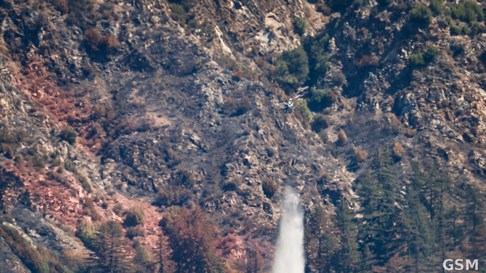
On the afternoon of August 8, 2026, a wildfire was discovered about four miles southeast of Big Sur in Monterey County, California, and named the Timber Fire. InciWeb, the federal interagency fire information platform, lists its date of origin as August 8 at 8:35 p.m., with the cause under investigation. According to CAL FIRE's incident page, the fire spread through steep, rugged terrain with difficult access.
On August 9 the fire grew from 100 acres (20% contained) in the morning to 400 acres by evening, and Monterey County issued evacuation warnings and orders for multiple zones. On August 10 it reached 1,723 acres and State Route 1 was closed to the public from Point Sur Lighthouse to near mile marker 37.5. On August 11, at 2,000 acres, all state parks in the Big Sur area were closed and an evacuation shelter operated at Carmel Middle School.
Lightning forced ground crews to disengage to safe zones on August 12 as the fire reached 3,150 acres. On August 14, California condors 340 and 868, which had recovered from lead poisoning, were released early at their sanctuary with a CAL FIRE escort. InciWeb's final record puts the Timber Fire at 25,350 acres, and CAL FIRE's October 7 update said all remaining evacuation orders had been lifted.
Related: 加州拉森县Bug Fire烧毁93,733英亩蔓延至内华达州,1名伤者不治
Source: CAL FIRE
Published by GSM · USA (original Chinese edition)
Photo: 图:Timber Fire火场,一架直升机在Big Sur附近的山坡上空洒水。(加州消防局官方图) / Photo: A helicopter drops water over the Timber Fire near Big Sur, California. (CAL FIRE)