Typhoon Koguma Holds Very Strong Intensity Over Ogasawara Waters on Holiday Sunday
At 6 a.m. on Sunday, October 11, Typhoon Koguma, the season's 29th, was still rated very strong, with winds of 45 metres per second far southeast of Tokyo, moving northwest at 20 kilometres per hour, according to Japanese weather reporting. The forecast kept it at the same strength through Monday in the Ogasawara waters before bending northeast, well offshore of Honshu.
The key conclusion for the holiday weekend is that the track does not cross Japan's main islands: trips to Tokyo or Kyoto could stay booked. The risk instead concentrates on swells around the Ogasawara Islands and exposed Pacific coasts.
Japan has had a busy typhoon season; in September, Typhoon Dujuan brought record rainfall to the Kanto region and the Izu Islands and caused deaths. The Meteorological Agency routinely warns that high waves, swells and outer rain bands can disrupt ferries, flights and coastal activity even when a storm's centre stays away.
Monday is the Sports Day holiday, and the return-travel peak may overlap with the storm's outer effects. Transport operators serving islands and coastal areas published running-status updates ahead of the return peak, and the agency's high-wave information continued to be updated.
Source: GSM · USA (original Chinese edition)
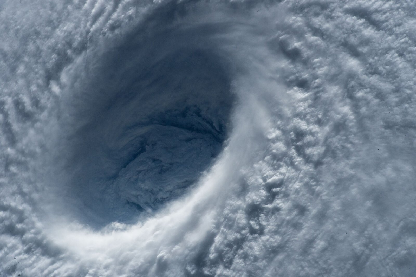
Photo: 图:从国际空间站拍摄的超强台风风眼(资料图)。NASA官方照片,公有领域,来源:Wikimedia Commons