Montana Under Winter Storm Warning: Up to 14 Inches of Snow, 40-mph Gusts Threaten Weekend Mountain Travel
The National Weather Service issued a winter storm warning for Montana on Saturday, October 10, as the state braces for its first major snowfall of the fall season. Up to 14 inches (35.6 cm) of snow and wind gusts reaching 40 mph (64 km/h) could make travel dangerous across mountain areas through the weekend.
The warning covers the Big Belt, Bridger and Castle Mountains, including Bozeman Pass, from 6 p.m. Saturday until 6 a.m. Monday. The Little Belt, Highwood, Snowy, Judith, Elkhorn and Boulder Mountains face similar accumulations and gusts. Forecasters expect heavy, wet snow with total accumulations of 6 to 14 inches.
The Weather Service cautions that snowfall amounts will vary drastically from grassy surfaces to roadways, particularly at lower elevations — a foot of mountain snow does not mean nearby towns will see the same. Earlier this week, meteorologist Chris Tomer told POWDER that Montana could see the coldest conditions and the most snowfall from the developing Western storm system.
What began as an exciting forecast for skiers has become a potentially disruptive storm for weekend travelers. Meanwhile, moisture from Tropical Storm Rachel combined with an approaching front will bring widespread showers from Montana to Southern California and Arizona through Sunday, threatening travel delays at airports and on interstates in Los Angeles, Phoenix and Salt Lake City. Officials urge travelers to monitor forecasts closely and avoid mountain roads at night where possible.
Published by GSM · USA (original Chinese edition)
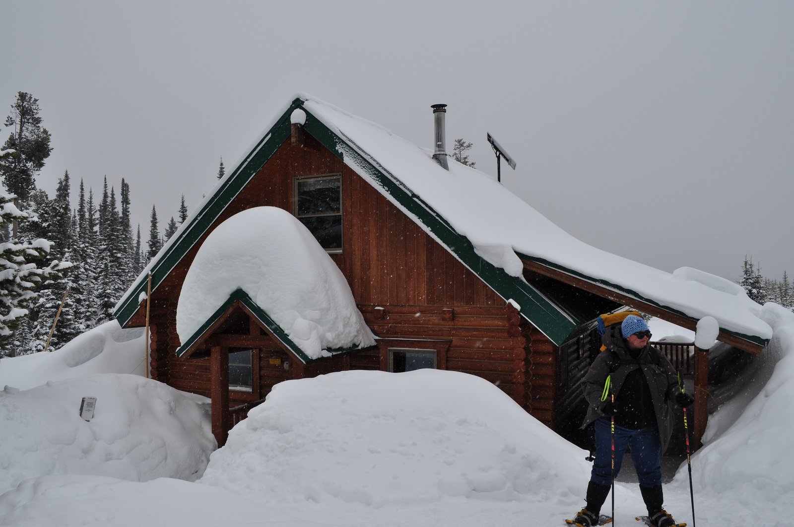
Photo: 图:蒙大拿州奇夫约瑟夫垭口一带的深厚积雪。摄影:美国林务局北区,公有领域,来源:Wikimedia Commons