Gale Warning in Effect on Michigan's Great Lakes: Lake Superior Waves to 16 Feet, First Snowflakes Possible in the U.P. Highlands
The National Weather Service (NWS) office in Marquette issued a marine weather statement on the evening of October 15: as a strong cold front crosses the Great Lakes, a gale warning is in effect from 6 a.m. to 9 p.m. Eastern on October 16 for waters from the Huron Islands to Marquette, Michigan, with north winds of 25 to 35 knots gusting to 50 knots and Lake Superior waves of 11 to 16 feet. The warning for waters from Marquette to Whitefish Point runs until 11 p.m., with waves of 10 to 15 feet. Mariners and lakeshore residents were urged to take precautions.
On land, the Marquette area will see mainly rain on October 16, possibly mixed with brief snowflakes in the afternoon, with gusts up to 40 mph; overnight lows inland could fall to 25°F. The Weather Service has issued no formal warning for snow: flakes in the Upper Peninsula highlands are expected to melt on contact and produce no accumulation.
NWS meteorologist Ben Warren told the Detroit Free Press on October 13 that the Huron Mountains and Michigamme highlands could see their first snowflakes of the fall behind the front, likewise melting on the ground. Data from the Midwestern Regional Climate Center show that October 16 is exactly Marquette's average first-snow date. The Free Press reported on October 15 that the system is bringing waves up to 19 feet on Lake Huron and over 16 feet on Lake Michigan, with 1 to 2 inches of rain across the Great Lakes region over 48 hours.
The NWS office in Gaylord said on October 15 that conditions will dry out over the weekend after the front passes, with winds strengthening again on October 18.
Source: GSM · USA (original Chinese edition)
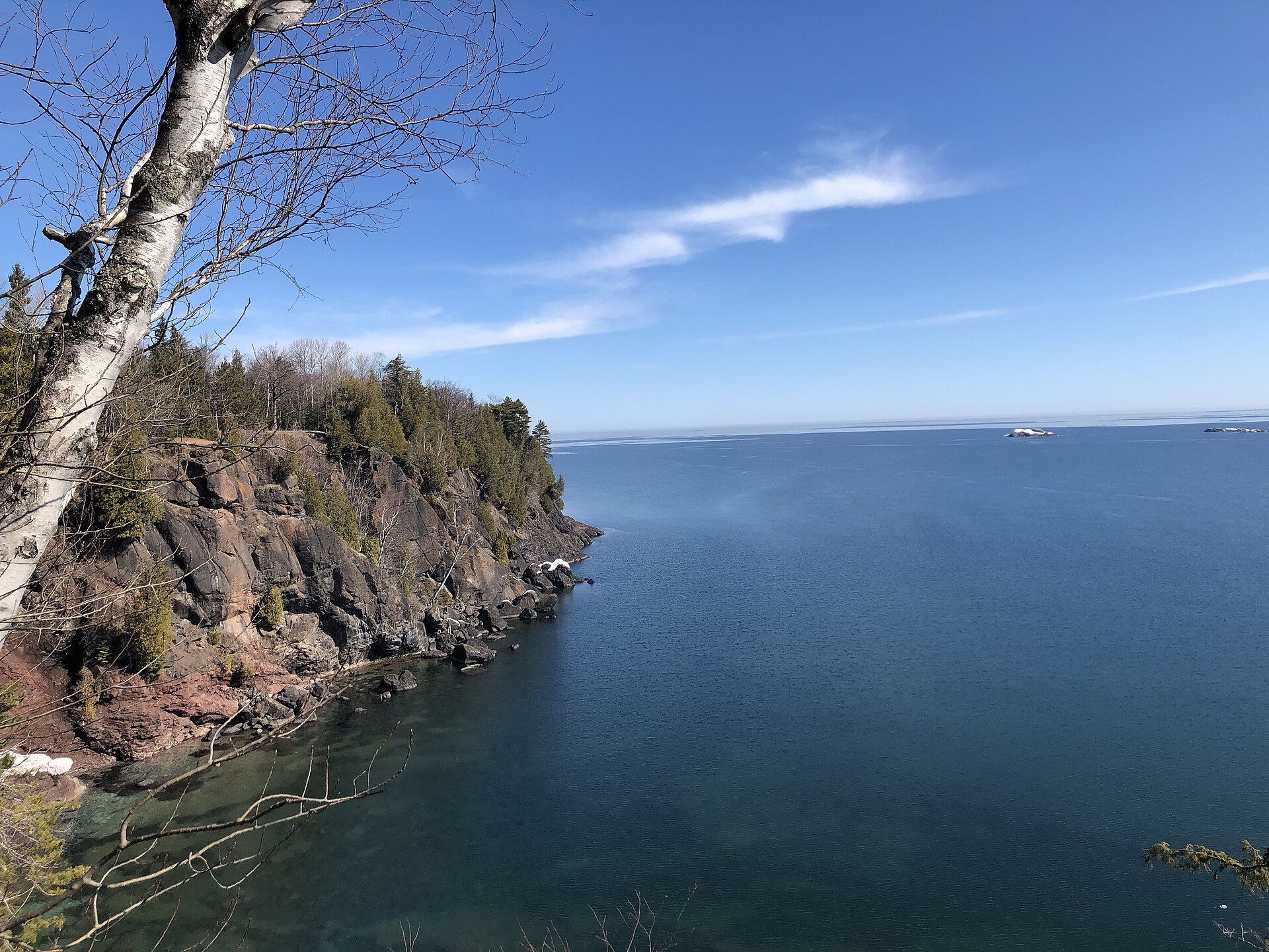
Photo: 图:苏必利尔湖马凯特普雷斯克岛公园湖岸——本轮大风预警水域正对岸(资料照片)。Hitoubashira 摄,CC BY-SA 4.0,维基共享资源 / Photo: The Lake Superior shore at Presque Isle Park in Marquette, facing the waters under the gale warning (file photo). Hitoubashira, CC BY-SA 4.0, via Wikimedia Commons