Magnitude 6.9 Earthquake Strikes off Vanuatu: Tsunami Threat Passes, No Casualties Reported So Far
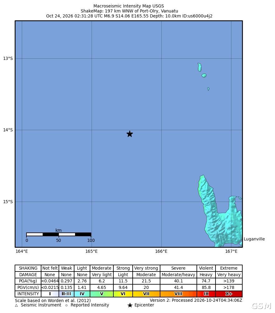
Data from the U.S. Geological Survey (USGS) show that a magnitude 6.9 earthquake struck off the coast of the South Pacific island nation of Vanuatu on October 24, with its epicenter about 197 kilometers (122 miles) west-northwest of Port-Olry at a depth of 10 kilometers (6.2 miles). The quake occurred at 02:31 UTC on October 24, which is 13:31 local time in Vanuatu and 19:31 on October 23 in Los Angeles. The USGS initially put the preliminary magnitude at 7.2 before revising it to 6.9 after review; this report uses the reviewed figures.
The Pacific Tsunami Warning Center initially issued a tsunami threat message for coasts near the epicenter. In a follow-up bulletin issued at 03:28 UTC, the center confirmed that the tsunami threat had passed, while noting that minor sea-level fluctuations could still occur along some coasts near the epicenter over the following hours. As of publication, there were no reports of casualties or property damage.
About four minutes after the main shock, a second earthquake of magnitude 6.3 struck the same area, centered about 170 kilometers (106 miles) northwest of Port-Olry, also at a depth of 10 kilometers. The USGS assigned a green alert level to both earthquakes, indicating a low likelihood of significant casualties or damage. The maximum instrumental intensity recorded for the magnitude 6.9 main shock was about 5.1, and the agency received a small number of felt reports.
Vanuatu sits on the Pacific Ring of Fire, near the boundary between the Australian Plate and the Pacific Plate, where earthquakes and volcanic activity are frequent. Local authorities and international monitoring agencies are still assessing the situation, and further updates from the USGS and the Pacific Tsunami Warning Center will determine whether additional bulletins on aftershocks or sea conditions are issued.
Source: GSM · USA (original Chinese edition)
Photo: 图:USGS 发布的本次地震震动图(ShakeMap),星标为震中位置,位于 Port-Olry 以西偏西北约197公里。图片:美国地质调查局 USGS,公共领域。