Magnitude 6.1 Earthquake Hits Near Port-Olry, Vanuatu: 116 km Deep, Felt by Local Residents
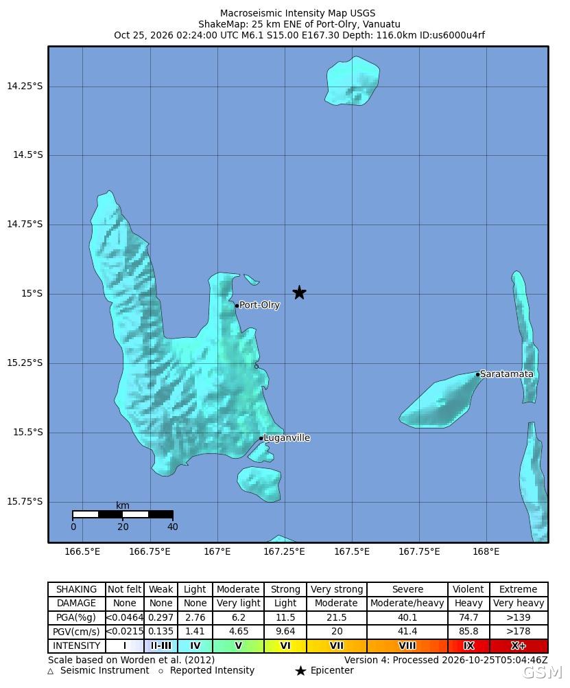
The U.S. Geological Survey (USGS) recorded a magnitude 6.1 earthquake about 25 km east-northeast of Port-Olry, Vanuatu, at 02:24 UTC on October 25 (1:24 p.m. local time), at a depth of roughly 116 km.
The USGS issued a green alert for the event. Maximum shaking intensity reached 4.3, and residents in the area reported feeling the tremor through the USGS felt-report system. No casualties or property damage had been reported by Vanuatu officials or local media as of publication.
Vanuatu sits on the Pacific Ring of Fire and experiences frequent earthquakes. Port-Olry is a fishing village on the east coast of Espiritu Santo, the country's largest island. The USGS event ID is us6000u4rf.
Source: GSM · USA (original Chinese edition)
Photo: 图:本次地震震度分布图。图片:美国地质调查局(USGS),公共领域。