EarthDaily Wins $3 Million NASA Task Order to Benchmark Commercial Satellite Data Against Landsat Standards
Earth observation operator EarthDaily announced in Maple Grove, Minnesota, on October 26 that it has been awarded a $3 million task order by NASA to provide EarthDaily Constellation data and technical support for NASA and the U.S. Geological Survey (USGS) to evaluate new approaches for incorporating commercial capabilities into federal land imaging programs.
The task order supports the Sustainable Land Imaging (SLI) commercial transition initiative, a joint NASA-USGS effort examining how commercial Earth observation data can complement government systems while meeting the scientific quality and continuity needs of the Landsat record. The Landsat series has recorded changes to Earth's land surface continuously since 1972 and is among the most widely used free land-imaging data sources in the world.
Under the contract, NASA and USGS will evaluate EarthDaily Constellation data against Landsat standards and requirements, including data quality, calibration, stability, radiometric and geometric performance, harmonizability, and fitness for purpose. The work will also examine how commercial observations can support the development of SI-ready Earth observation products designed for modern data processing and machine-learning workflows. The company noted that the evaluation does not itself establish that its data already meets Landsat-grade requirements; acceptance results have not been disclosed.
"Landsat has created an extraordinary scientific record of how our planet is changing, built on decades of consistent and trusted measurement," said Don Osborne, Chief Executive Officer of EarthDaily. "EarthDaily was built around the same fundamental idea: to understand change, you first need measurements you can trust and compare over time. As Earth observation increasingly becomes an input to AI, that consistency becomes even more important. This work gives us the opportunity to collaborate with NASA and USGS to demonstrate how science-grade, AI-ready commercial observations can complement the Landsat record and help extend trusted measurement into the future."
Federal land imaging is in an exploratory phase of linking government systems with commercial constellations. NASA and USGS have previously sought industry input on the SLI commercial transition, and this paid task order, which brings commercial data into the agencies' official evaluation pipeline, is a concrete step in that initiative. How the evaluation proceeds and how commercial data may ultimately enter federal programs will depend on its findings and subsequent program decisions.
Source: GSM · USA (original Chinese edition)
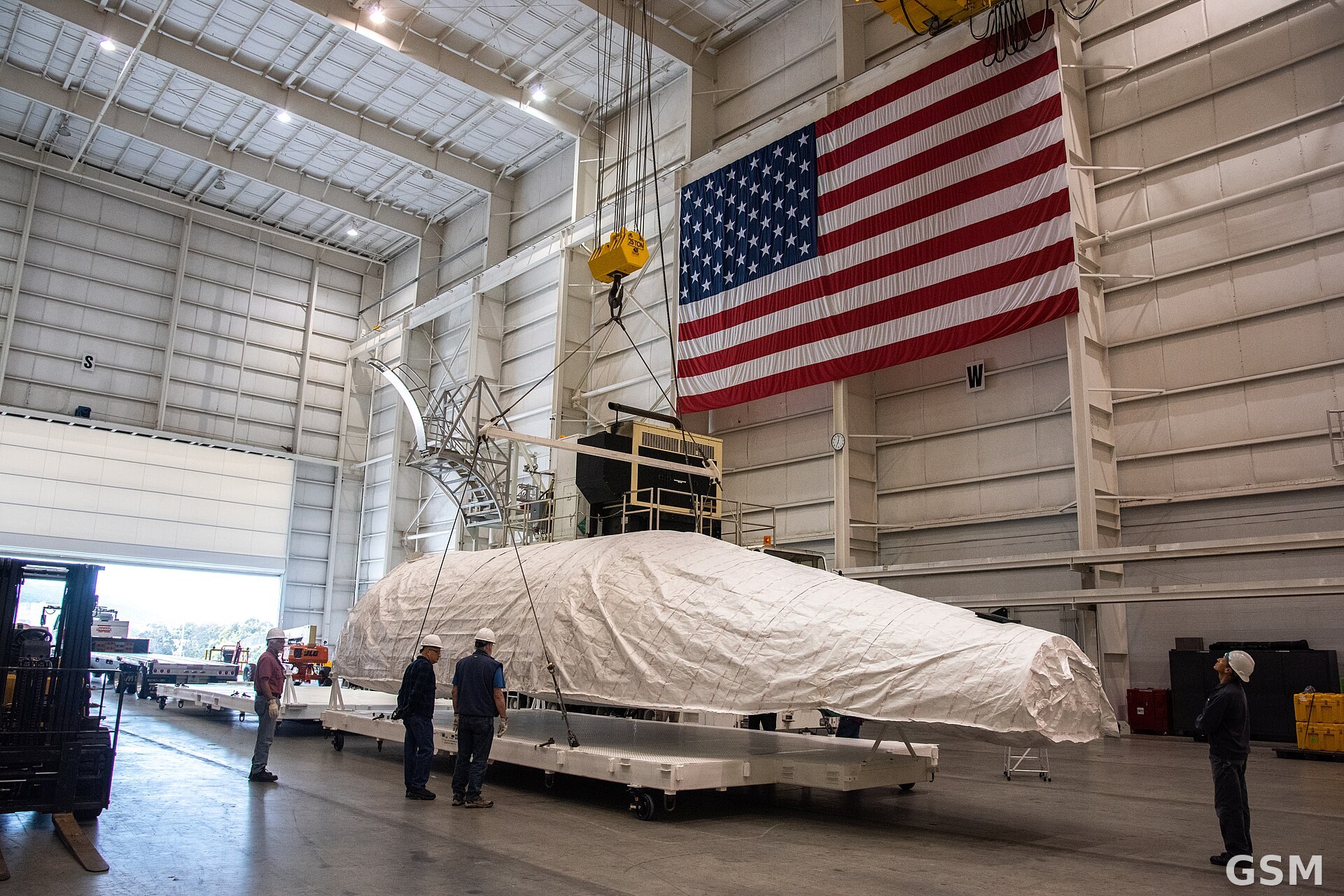
Photo: 图:Landsat 9 卫星的整流罩在加州 Vandenberg 太空军基地综合处理设施内吊装(资料图)。美国航天局(NASA)摄,公共领域,经 Wikimedia Commons。Photo: A payload fairing for NASA's Landsat 9 satellite inside the Integrated Processing Facility at Vandenberg Space Force Base, California (file photo). By NASA, public domain, via Wikimedia Commons.