First Real Storm of the Season Hits Utah's Wasatch; Snowbird Reports 6 Inches Overnight
On November 1, the Wasatch Mountains in Salt Lake County, Utah, received the first substantial storm of the 2026–27 snow season, laying a base for the opening days arriving through November. As of the morning of November 1, Ski Utah's published report showed Snowbird with 6 inches of new snow overnight, about 15 centimeters, with the snow stake reading close to 10 inches, about 25 centimeters; Alta reported 4 inches, about 10 centimeters, and Solitude 3 inches, about 8 centimeters.
Forecaster Evan Thayer, in Ski Utah's daily forecast, noted that the main thrust of this round of snow fell on November 1, with snow above roughly 8,000 feet and continuing rain below. Pre-storm forecasts had Snowbird reaching as much as 21 inches, Alta 20, Brighton 14, Park City Mountain and Deer Valley about 7, Beaver Mountain about 5, and Brian Head in the south as much as 22 inches. The November 2 forecast called for Alta and Snowbird to start with a rain-snow mix before turning to all snow; if that verifies, totals in Big and Little Cottonwood canyons will end up far above the numbers reported so far.
Announced opening dates, all weather permitting: Brian Head on November 6; Park City Mountain, Alta and Solitude on November 20; and Snowbird and Snowbasin on November 27, the day after Thanksgiving. Reports also cautioned that early-season snowpack remains thin and unreliable, with rocks, stumps and streambeds just under the surface, and that anyone heading out should check the Utah Avalanche Center's daily forecast first.
Source: GSM · USA (original Chinese edition)
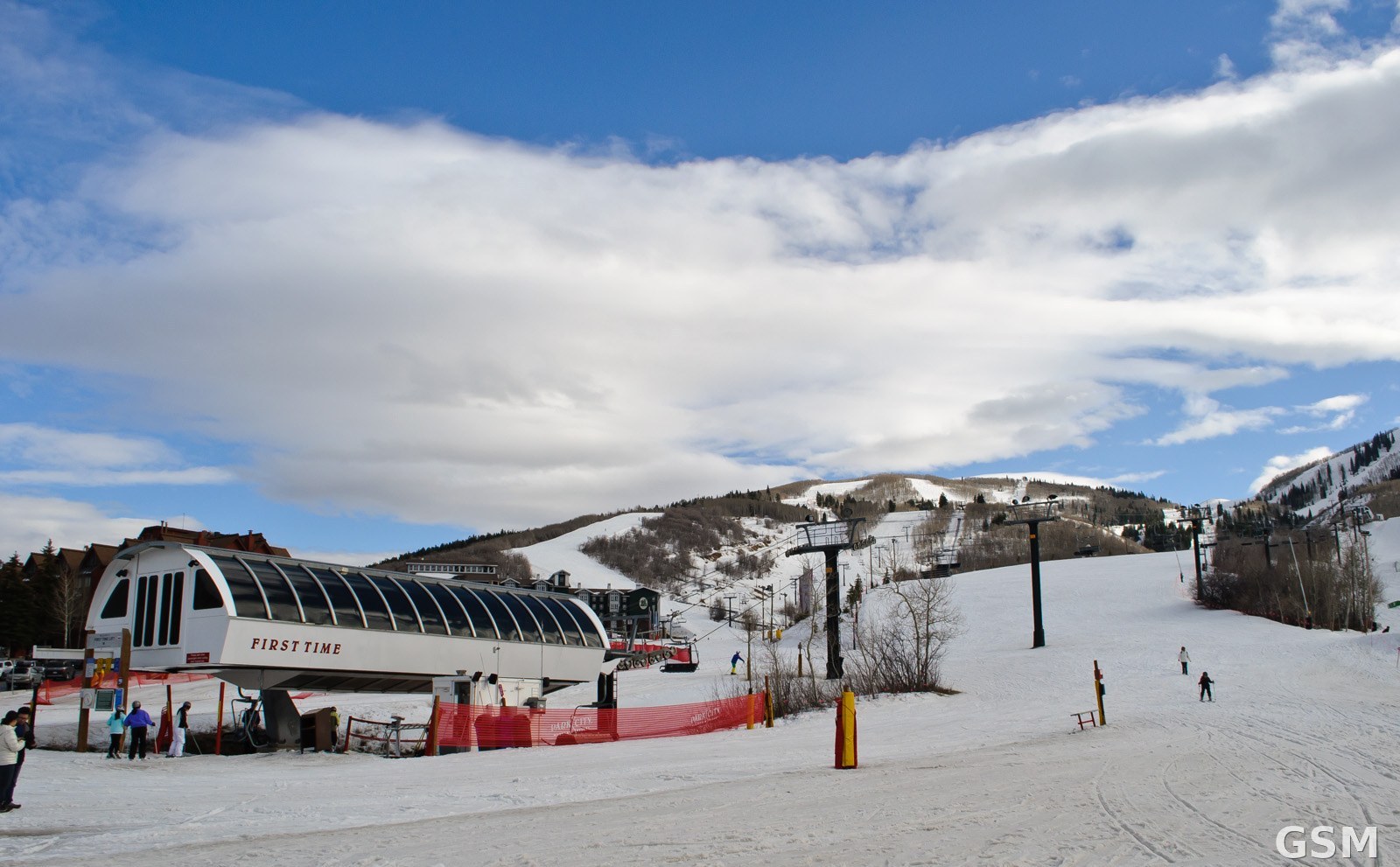
Photo: 犹他州一处滑雪场的雪道与缆车(资料图)。InSapphoWeTrust from Los Angeles, California,摄,CC BY-SA 2.0,经Wikimedia Commons。 / Ski slopes and a lift at a Utah ski resort (file photo). Photo by InSapphoWeTrust from Los Angeles, California,, CC BY-SA 2.0, via Wikimedia Commons.