Marginal Severe Thunderstorm Risk Friday Across the Eastern Carolinas and Southeast Virginia
The Storm Prediction Center of the National Weather Service (NWS) said in its Day 2 convective outlook on November 5 that a marginal risk of severe thunderstorms covers the eastern Carolinas and southeast Virginia on Friday, November 6, where a few strong to severe storms are possible. The outlook was issued at 10:53 a.m. CST on November 5 and is valid from 12:00 UTC on November 6 to 12:00 UTC on November 7.
A belt of enhanced deep-layer southwesterly flow will be in place across much of the Eastern Seaboard on Friday, the center said, as an upper trough pivots east toward the Atlantic coast and a surface front extending from southern New England to central Georgia shifts eastward. Ahead of the front, dewpoints in the mid-60s Fahrenheit will reach as far north as southeast Virginia. Midlevel flow increasing to around 30 to 40 knots will support effective shear of about 35 to 45 knots as convection along the front moves into the moist downstream air mass, which may support organized cells or bows capable of damaging gusts and perhaps a brief tornado.
The center said the severe risk should remain fairly isolated, given expected poor low-level lapse rates and modest instability. Its Day 3 outlook, issued the same day, forecasts no severe thunderstorm areas on Saturday, November 7, when severe thunderstorms are not expected.
Source: NOAA Storm Prediction Center
Published by GSM · USA (original Chinese edition)
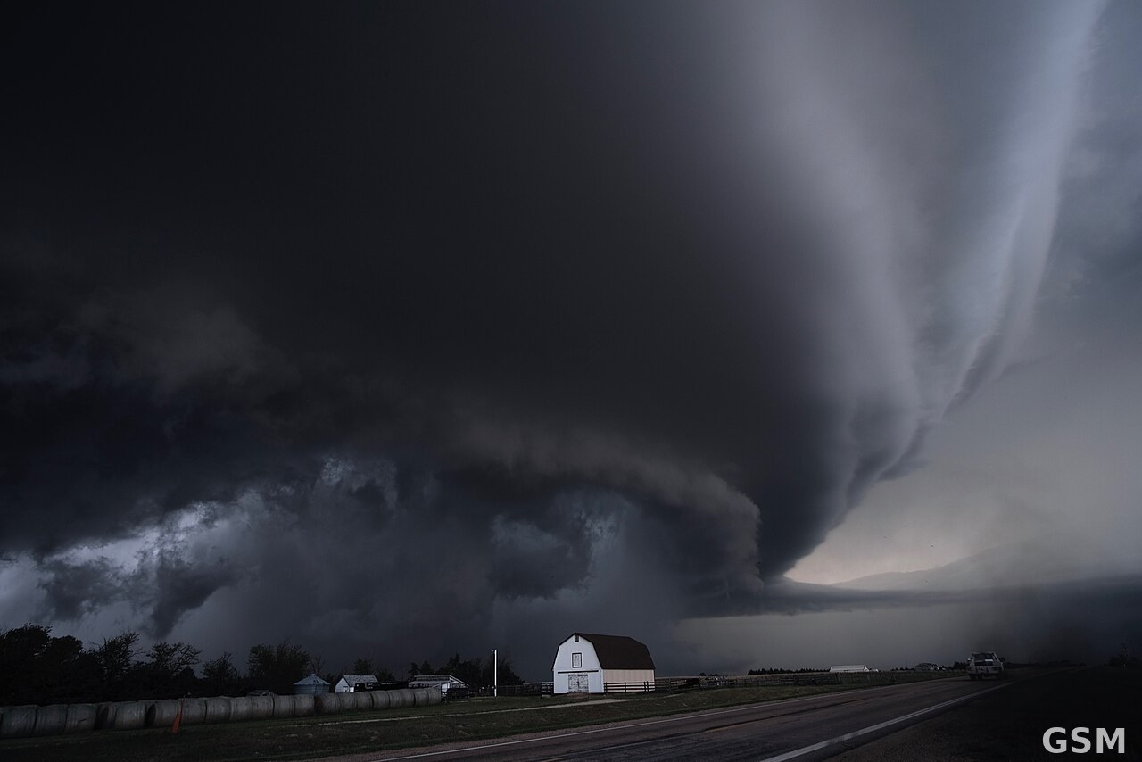
Photo: 图:超级单体雷暴资料图(Kansas)。摄影 NOAA 国家强风暴实验室,公共领域,来源 Wikimedia Commons。 / Photo: A supercell thunderstorm in Kansas (representative image). Photo by the NOAA National Severe Storms Laboratory, public domain, via Wikimedia Commons.