Magnitude 6.1 Earthquake Strikes 144 Kilometers Southeast of Hasaki, Japan: 29 Kilometers Deep, No Tsunami Threat
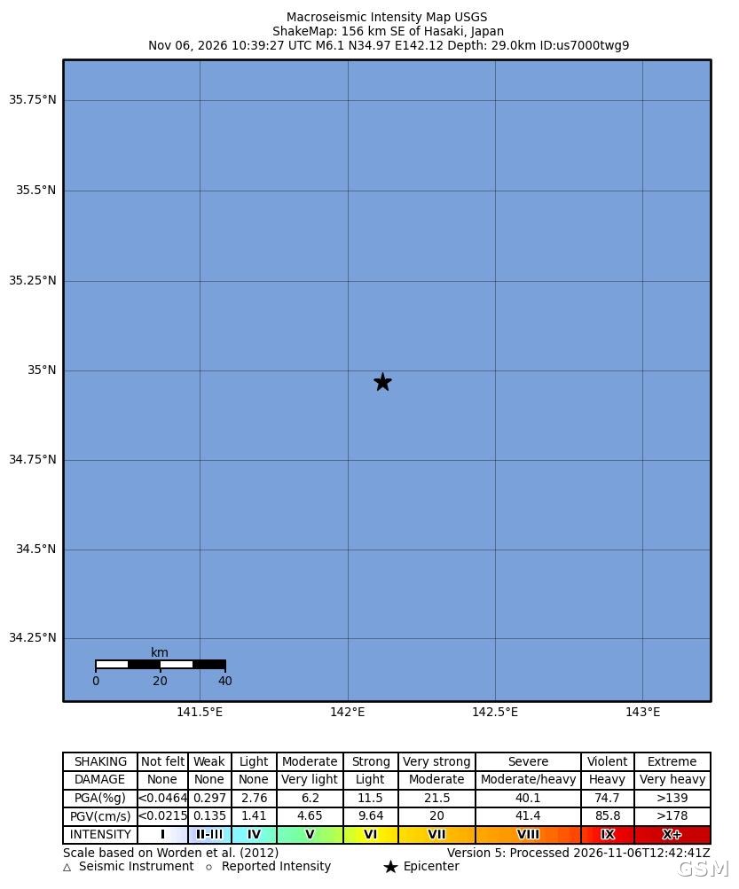
A magnitude 6.1 earthquake struck off Japan's eastern Kanto coast on November 6. According to the U.S. Geological Survey, the quake occurred at 10:39 UTC (7:39 p.m. Japan time, 2:39 a.m. Pacific time), with its epicentre about 144 kilometers southeast of Hasaki, Ibaraki Prefecture (34.97 degrees north, 142.12 degrees east), at a depth of about 29 kilometers.
The Japan Meteorological Agency said the quake occurred in the sea off the eastern Kanto region and issued no tsunami warning; the U.S. Geological Survey likewise confirmed there was no tsunami threat. The agency's PAGER assessment system issued a green alert, indicating a low likelihood of casualties or economic damage, and 22 people reported feeling the quake. As of publication, there were no reports of casualties or major property damage.
Japan sits on the Pacific Ring of Fire, where the Pacific Plate subducts east of the archipelago and shallow offshore earthquakes are frequent. GSM will continue to follow updated measurements from the Japan Meteorological Agency and the U.S. Geological Survey.
(Source: U.S. Geological Survey)
Source: U.S. Geological Survey
Published by GSM · USA (original Chinese edition)
Photo: 图:美国地质调查局(USGS)发布的本次地震烈度图,震中位于日本茨城县波崎东南约144公里、震源深度约29公里。图片:USGS,公共领域。 / ShakeMap intensity map for this earthquake, released by the U.S. Geological Survey (USGS): epicentre about 144 km southeast of Hasaki, Ibaraki Prefecture, Japan, at a depth of about 29 km. Image: USGS, public domain.