
University of Southampton Publishes Old Sarum Radar Survey: Walls 3.5 Metres Thick, Structures Pre-Dating the Medieval Cathedral Found in Cathedral Precinct
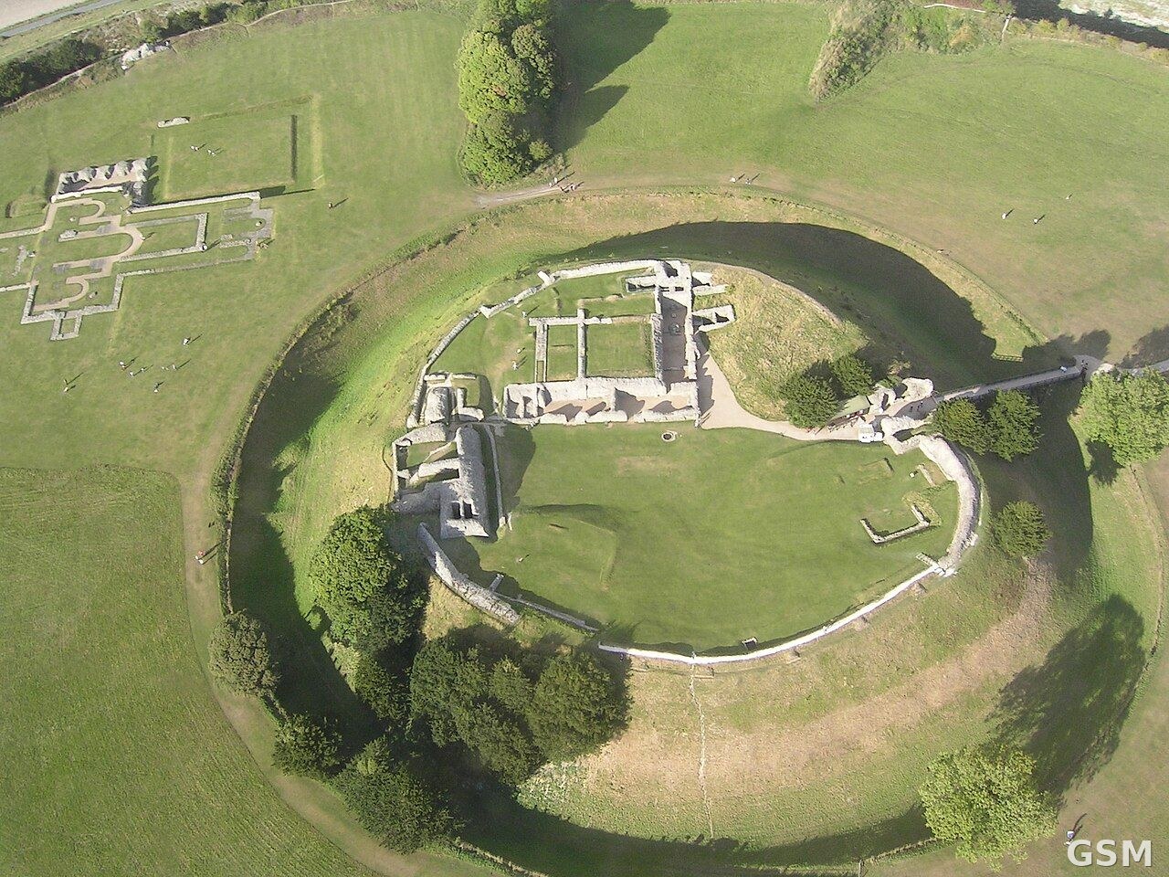
Staff and students from the University of Southampton's Department of Archaeology have mapped the buried layout of the medieval city at Old Sarum, north of Salisbury, using ground-penetrating radar. The university's Faculty of Arts and Humanities published the results on November 6, with reporting following on November 12.
The survey recorded defensive buildings with walls 3.5 metres thick, churches, houses and roads, together with infrastructure including cesspits. It was designed to map, at high resolution, a city occupied in the 12th and 13th centuries.
The survey was directed by Dominic Barker and Kristian Strutt, who said the results exceeded expectations and showed earlier phases of activity on the site, including possible Roman remains. In the cathedral precinct, the radar also recorded a series of structures that pre-date the medieval cathedral; no date has been attached to them, and early medieval or Roman origins are presented as a possibility rather than a finding.
The survey used an eight-channel ground-penetrating radar system towed by an all-terrain vehicle and positioned with GPS. The antennae ran at 450MHz, measured to a depth of over 3 metres, and recorded readings at a resolution of 0.1 metres by 0.03 metres. The dry summers of 2025 and 2026 were credited with helping the survey show the city in fine detail. The two radar seasons form part of a broader project at the site.
The researchers note that radar records the shape, depth and position of buried features but does not date them; establishing when the earlier structures were built would require excavation or dating evidence from the deposits themselves.
Published by GSM · USA (original Chinese edition)
Photo: MARKEDWARDS, CC BY-SA 4.0, via Wikimedia Commons