Magnitude 6.4 Earthquake Strikes West of Lata, Solomon Islands: 17 km Deep, No Tsunami Threat
The U.S. Geological Survey (USGS) recorded a magnitude 6.4 earthquake in the Solomon Islands at 03:34:59 UTC on November 9, 2026, with its epicenter 30 kilometers west-southwest of Lata, in the Santa Cruz Islands of Temotu Province, at a depth of 17 kilometers (10.8669 degrees south, 165.5616 degrees east). That is 2:35 p.m. local time on November 9 in the Solomon Islands and 7:35 p.m. Pacific time on November 8. The USGS solution has been reviewed.
The USGS PAGER system issued a green alert for the event, meaning a low likelihood of casualties and major economic losses. The USGS event page carries no tsunami flag, the Pacific Tsunami Warning Center issued no tsunami alert, and Malaysia's meteorological department said the quake posed no tsunami threat to Malaysia. As of publication, there were no reports of casualties or property damage.
China's earthquake networks initially measured the event at magnitude 6.3 with a depth of 10 kilometers; initial measurements by different national networks often differ, and GSM follows the reviewed USGS figures of magnitude 6.4 and 17 kilometers.
The Solomon Islands sit on the boundary between the Australian and Pacific plates, one of the world's most seismically active zones, and the Santa Cruz Islands area has seen repeated earthquakes above magnitude 6. (Source: U.S. Geological Survey)
Source: U.S. Geological Survey
Published by GSM · USA (original Chinese edition)
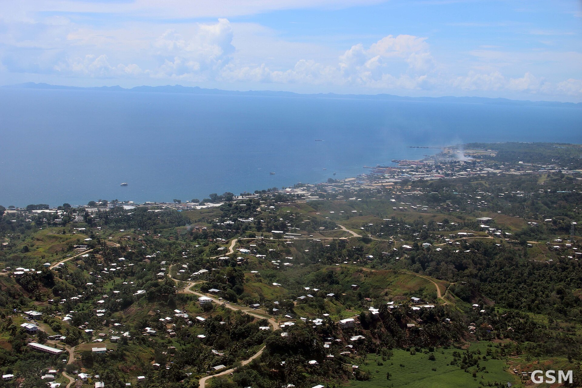
Photo: 图:所罗门群岛首都 Honiara 航拍(资料图)。CC BY 2.0 授权照片,经 Wikimedia Commons。 / Photo: Aerial view of Honiara, capital of the Solomon Islands (file photo). CC BY 2.0, via Wikimedia Commons.