Lake Superior Waves May Reach 18 Feet Sunday Night, Calm Monday, Then Build Again Wednesday
The National Weather Service office in Marquette, Michigan, said in its open-lake forecast for Lake Superior issued at 10:00 p.m. EST on Sunday, November 8, 2026, that the eastern waters from Grand Marais to Whitefish Point would see north winds to 30 knots with gusts to 40 knots possible on Sunday night, with waves of 10 to 14 feet and occasional waves to 18 feet, subsiding to 3 to 6 feet. By Monday the lake calms markedly, with waves subsiding to calm to 2 feet in the day's most settled window of the week.
The calm will not last. On Monday night, southwest winds turn west and build to 20 to 30 knots, with waves rebuilding to 4 to 7 feet and occasionally 9 feet, and on Tuesday northwest winds of 20 to 30 knots raise waves of 4 to 8 feet, occasionally 10 feet. In the central waters west of Manitou Island to Marquette, west winds may reach 30 knots with gale-force gusts to 35 knots by midnight Monday night, and west gales to 35 knots continue into Tuesday before diminishing.
Wednesday night brings the next peak: north winds of 20 to 30 knots increasing to gales of 35 knots after midnight, rain showers possibly mixed with snow, and waves building to 4 to 7 feet, occasionally 9 feet. On Thursday the north gales diminish, with a chance of snow showers and waves of 3 to 6 feet, occasionally 8 feet. The western lake stays comparatively quiet, with Monday waves of only 1 to 3 feet.
In its synopsis, the Weather Service said a 30.0-inch ridge lingers over the lake into Monday morning, while a 29.6-inch low moving over Lake Winnipeg weakens to 29.7 inches and brings 29.8-inch troughing over Lake Superior on Monday night. From Tuesday into Wednesday, 30.4-inch high pressure builds over Manitoba and Ontario and descends slowly southeast, reaching western Lake Superior at 30.2 inches on Friday.
The forecast covers open waters beyond five nautical miles from shore; wave figures are significant wave heights, and occasional heights are the average of the highest one-tenth of the wave spectrum. Mariners should plan around the windows the forecast lays out: Monday daytime is the calmest period, while Sunday night and Wednesday night are the most dangerous. (Source: National Weather Service)
Source: National Weather Service
Published by GSM · USA (original Chinese edition)
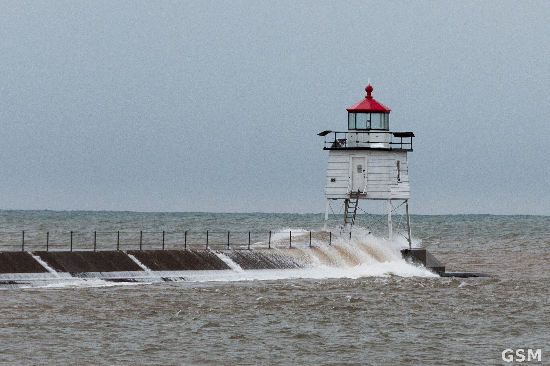
Photo: 图:大浪冲上苏必利尔湖北岸 Two Harbors 的防波堤。Wikimedia Commons 图片(CC BY-SA 2.0)。 / Photo: Waves crash over the Two Harbors breakwater on Lake Superior's North Shore. Image via Wikimedia Commons (CC BY-SA 2.0).