TEMPO Scans North America's Air Every Hour: 413 Terabytes of Near-Real-Time Data, and Two Earlier Health Alerts in Minnesota
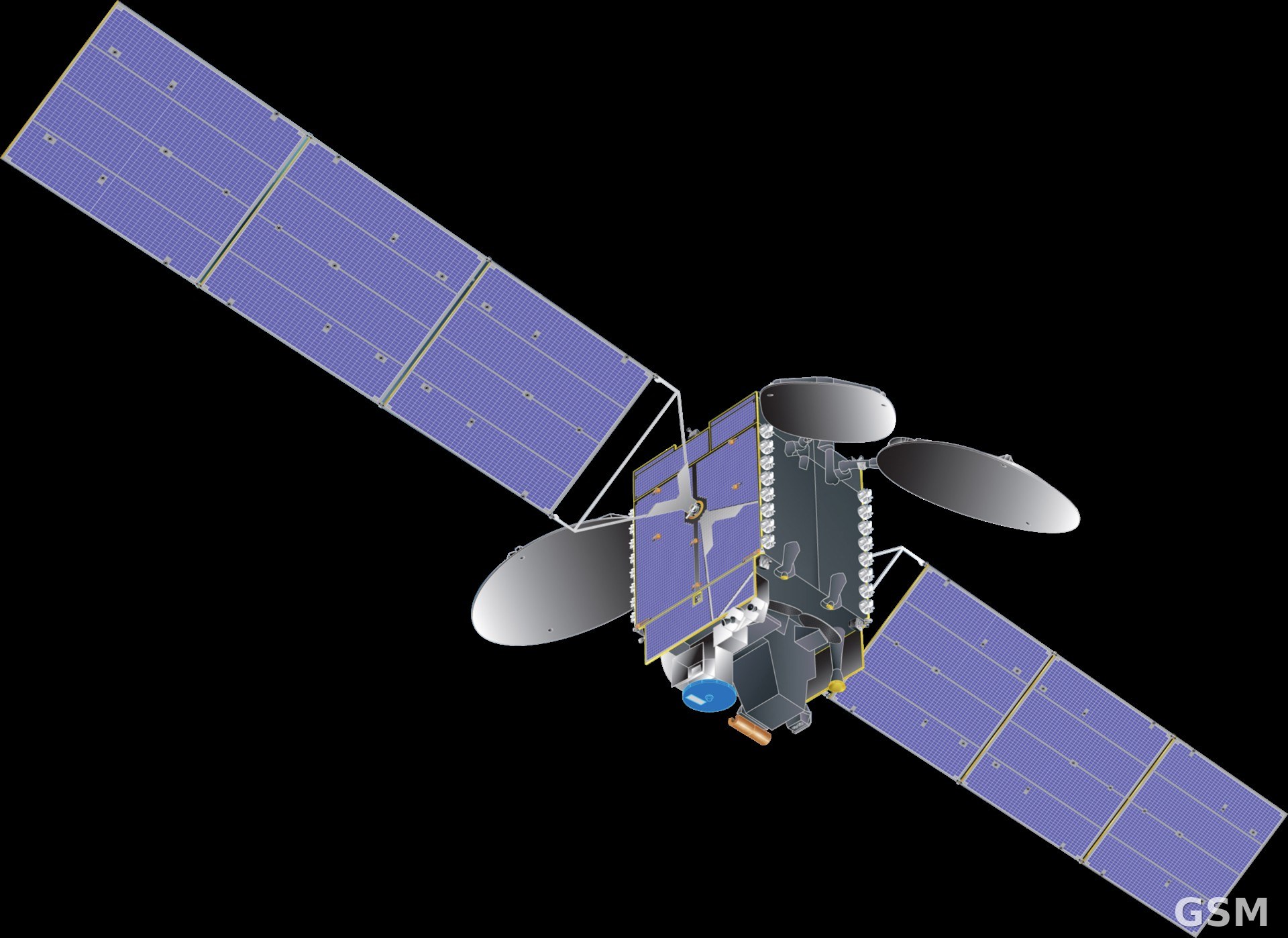
NASA said on November 9 that its TEMPO instrument, riding in geostationary orbit, now scans the atmosphere over North America once every hour, the first geostationary air quality monitor of its kind. TEMPO launched in April 2023 aboard the Intelsat 40e communications satellite and sits about 22,000 miles above the equator.
Earlier satellites passed over only once or twice a day, and clouds could wipe out a whole day's data. TEMPO's grating spectrometer, sensitive to visible and ultraviolet light, resolves about 2 by 5 kilometers per pixel and measures tropospheric ozone, nitrogen dioxide, formaldehyde, clouds and aerosols, with near-real-time products ready about 2 to 2.5 hours after observation. NASA said the near-real-time dataset now exceeds 413 terabytes, users have downloaded more than 3.5 million near-real-time files, and total downloads run above three million gigabytes a year.
The data is already in operational use. Minnesota's Pollution Control Agency tracks ozone precursors with TEMPO and found ozone forming over a larger footprint than its sparse ground network had shown; in the summer of 2026 the state twice used TEMPO data as a deciding factor in issuing air pollution health alerts, and issued them earlier than it could have with legacy data alone. The University of Iowa's FireAQ wildfire smoke forecasting system is also adding TEMPO's hourly readings to model smoke plumes in three dimensions and judge whether they threaten communities below.
TEMPO is three years into a mission that could last 10 to 15 more years. New products requested by federal agencies are on the way, including sulfur dioxide, aerosol height and water vapor measurements, plus an hourly ultraviolet index for the ground that public health experts can use to update UV forecasts. (Source: National Aeronautics and Space Administration)
Source: National Aeronautics and Space Administration
Published by GSM · USA (original Chinese edition)
Photo: 图:TEMPO 仪器所搭载的通信卫星与 TEMPO 模型示意图。Wikimedia Commons 图片(公共领域,美国国家航空航天局)。 / Photo: An illustration of the host communications satellite with a model of the TEMPO instrument. Image via Wikimedia Commons (public domain, National Aeronautics and Space Administration).