Winter Storm Watch for the Sierra Nevada: 6 to 12 Inches of Snow Possible Above 6,000 Feet Starting Friday
The National Weather Service office in Hanford issued a Winter Storm Watch at 9:30 a.m. PST on November 10 and updated it at 5:31 p.m. the same day: the high country of California's Sierra Nevada will see a winter storm beginning Friday afternoon, November 14, with the watch running through late Monday night, November 17.
The watch covers Yosemite National Park outside the valley, the Upper San Joaquin River, Kaiser to Rodgers Ridge, Kings Canyon National Park, Grant Grove and Sequoia National Park. The Weather Service expects heavy snow to be possible above 6,000 feet, with accumulations of 6 to 12 inches and wind gusts as high as 50 mph.
The agency warns that snow of that amount, combined with strong winds, could make mountain travel very difficult to impossible. Anyone planning to visit Sierra Nevada national parks or high-country roads this weekend should check the latest forecast and road conditions and be ready to change plans.
The Sierra Nevada is California's most important snowpack region: winter storms challenge mountain travel, but they also deliver a large share of the state's water supply. The Weather Service will update the forecast as the storm approaches.
(Source: National Weather Service)
Source: National Weather Service
Published by GSM · USA (original Chinese edition)
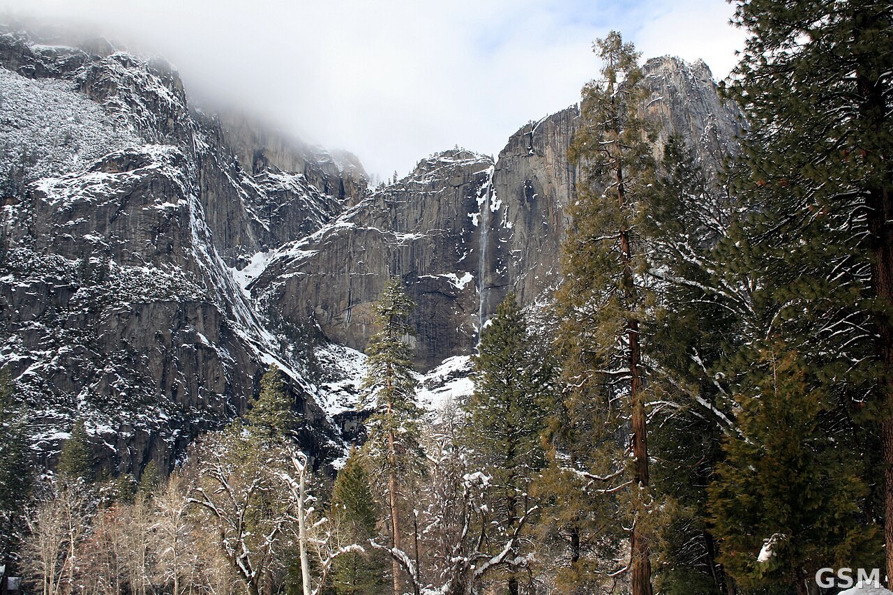
Photo: 图:冬日的优胜美地国家公园。内华达山脉本周五起将迎来一场冬季风暴。Wikimedia Commons 图片(CC BY-SA 4.0)。 / Photo: Yosemite National Park in winter. The Sierra Nevada faces a winter storm starting Friday. Wikimedia Commons image (CC BY-SA 4.0).