
Over a Foot of Snow Falls Overnight in Central New York: Hartwick Records 12.5 Inches, Wet Snow Knocks Out Power to Thousands
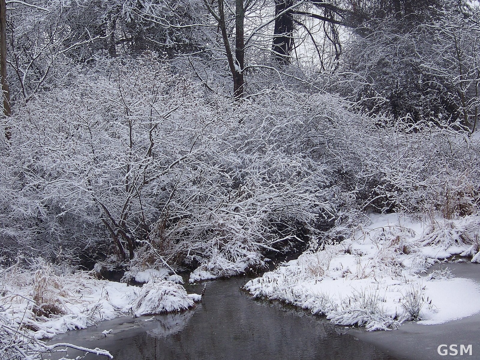
Central New York saw a night of heavy, wet snow on November 12, with the town of Hartwick in Otsego County, New York, recording the state's highest preliminary total of 12.5 inches. Local storm reports compiled by the National Weather Service (NWS) offices in Binghamton and Albany show the snow fell on higher ground Thursday night and continued in places into early Friday, November 13. In Otsego County the wet snow weighed down trees and knocked out power, and roads were slippery for the Friday morning commute.
The deepest reports clustered in Otsego County: Burlington reported 12 inches, Exeter Center 11.5 inches, Westford 11 inches and Cherry Valley 10 inches. Jefferson in Schoharie County reported 8.5 inches, North Norwich and Sherburne in Chenango County 8 inches each, and Westerlo in Albany County 7.3 inches. The weather service notes these are preliminary reports from individual locations, not countywide or statewide totals, and amounts can change as more observations come in.
Winter weather alerts remained in effect across several counties early Friday. A winter storm warning for Otsego County, including Oneonta, ran until 1 p.m. Friday, with 6 to 12 inches already down above 1,500 feet and up to 2 additional inches possible. Winter weather advisories for Chenango and Delaware counties also ran until 1 p.m. Friday, with up to 2 more inches possible, while western Essex County was under an advisory until 10 a.m. Friday, with wet snow mainly above 1,200 feet and 2 to 4 inches expected.
The heavy, wet snow clinging to trees was the main cause of outages, concentrated in Otsego County. According to outage figures cited by WeatherBoy, Otsego Electric Cooperative had 3,828 of its 5,030 tracked customers without power at 2:21 a.m. Friday. The same report said the NWS Binghamton office upgraded a winter weather advisory to a winter storm warning late Thursday after snow came down faster than expected, with the warning in effect until 1 p.m. Friday.
The weather service expected the snow to taper off on Friday, with the Albany office forecasting precipitation ending from north to south and most areas done by late morning or early afternoon. The Binghamton office expected lake-effect precipitation to develop Friday afternoon and continue through the weekend, with generally light additional accumulations, though narrow bands near the hills around Cortland could produce about an inch or slightly more. In a Friday post, the weather service called it winter's first warning shot in the Northeast, saying below-normal temperatures would remain through early next week.
Source: National Weather Service
Published by GSM · USA (original Chinese edition)
Photo: 图:纽约州雪景资料照片,非本次降雪现场。Juliancolton 摄,公共领域,经 Wikipedia。 / File photo: a snowy scene in New York, not from this storm. Photo by Juliancolton, public domain, via Wikipedia.
 Follow-up: Winter Storm Warnings in Effect for the Sierra Nevada, With Up to 20 Inches of Snow Near Lake Tahoe and Ridge Gusts of 70 to 90 mph2026-11-13
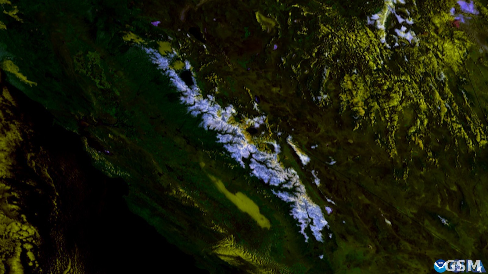 The National Weather Service Upgrades Sierra Nevada Winter Storm Watches to Warnings on November 12: About 12 Inches of Snow Above 7,000 Feet Around Lake Tahoe and Ridge Gusts of 70 to 90 Miles an Hour From Friday Morning2026-11-12