Magnitude 5.1 Earthquake Strikes 153 Kilometers Northwest of Kavieng, Papua New Guinea, at a Depth of 10 km
The U.S. Geological Survey (USGS) recorded a magnitude 5.1 earthquake 153 kilometers northwest of Kavieng, capital of New Ireland Province in Papua New Guinea, at 9:30 a.m. local time on November 14, at a depth of 10 kilometers. In Coordinated Universal Time, the quake struck at 23:30 on November 13.
According to the parameters published by the USGS, the epicenter was in the sea at 1.50 degrees south latitude and 149.92 degrees east longitude, northwest of Kavieng. The determination drew on data from 48 seismic stations and put the magnitude at 5.1. The USGS event record carried no tsunami flag for this earthquake.
The USGS notice mentioned no casualties or property damage.
(Source: U.S. Geological Survey)
Source: U.S. Geological Survey
Published by GSM · USA (original Chinese edition)
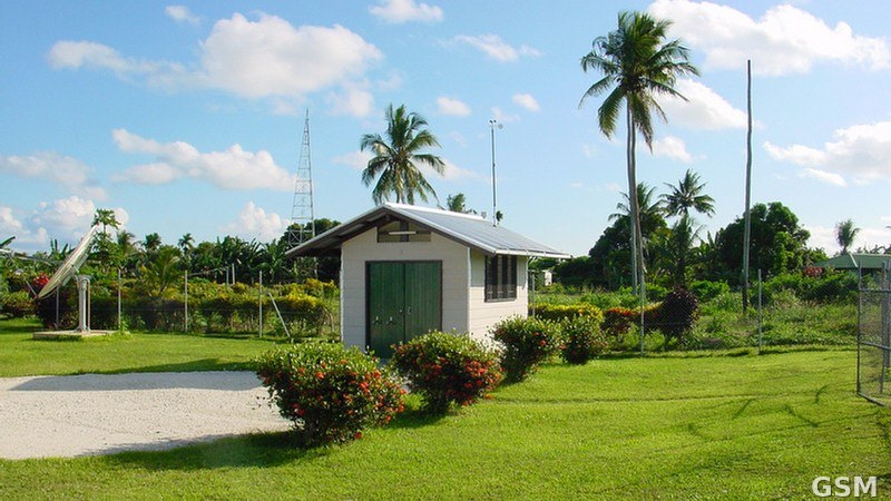
Photo: 图:巴布亚新几内亚卡维恩的《全面禁止核试验条约》组织放射性核素监测站RN51(资料图),震中位于卡维恩西北153公里海域。全面禁止核试验条约组织官方Flickr摄,CC BY 2.0,经Wikimedia Commons,本图已裁为16:9。 / Photo: The CTBTO radionuclide monitoring station RN51 in Kavieng, Papua New Guinea (file photo); the epicenter was in waters 153 km northwest of Kavieng. By the Official CTBTO Photostream, CC BY 2.0, via Wikimedia Commons; cropped to 16:9.