Nor'easter Lashes New York City: Tornado Warning in Queens as JFK Rain Sets Second-Highest November Day on Record
A nor'easter swept New York City on November 12. The National Weather Service issued a tornado warning for parts of Queens around midday after low, rotating clouds appeared near John F. Kennedy International Airport. The warning remained in effect until 2 p.m., and no tornado touchdown was reported.
The storm brought heavy rain and hail to the city. JFK Airport recorded 3.32 inches of rain in a single day, its second-highest November daily total on record. Central Park received more than 1.6 inches, flash flooding hit residential neighborhoods in Brooklyn and Queens, and hail fell in the Far Rockaway area.
The severe weather forced ground stops at JFK, LaGuardia and Newark airports, delaying hundreds of flights. The Weather Service also issued a coastal flood advisory: from 8 a.m. to noon on November 13, low-lying waterfront areas of the city could see up to 6 inches of inundation.
Forecasters expected the rain to continue until about 4 p.m. on November 13 before tapering off, with the city turning dry on the night of the 13th, temperatures falling to around 40 degrees Fahrenheit, and a cold, dry weekend ahead. Upstate areas saw their first major snow of the season, with 12.5 inches in Hartwick, south of Cooperstown.
City officials urged residents to stay away from waterfront areas during the storm and to watch for standing water on low-lying roads.
Source: National Weather Service
Published by GSM · USA (original Chinese edition)
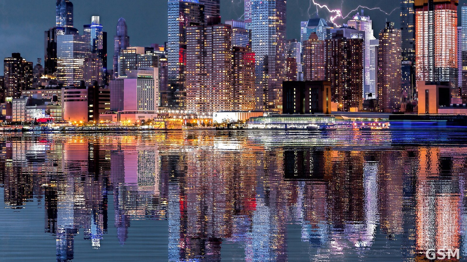
Photo: 纽约市天际线上空的闪电。DomWphoto 摄,Wikimedia Commons,CC BY 2.0。 / Lightning over the New York City skyline. Photo by DomWphoto, Wikimedia Commons, CC BY 2.0.