
Magnitude 5.5 Earthquake Strikes Fiji Region at Depth of About 470 km, USGS Event us7000tyca
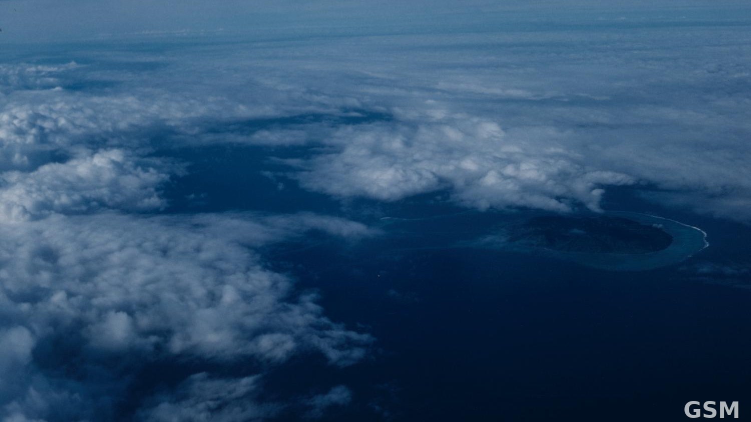
According to the U.S. Geological Survey's real-time event record, a magnitude 5.5 earthquake struck the Fiji region at 05:15 UTC on November 15, at a depth of about 469.9 km, centred at 19.5554 degrees south latitude and 177.8215 degrees west longitude. The USGS event ID is us7000tyca.
The earthquake was very deep. A separate magnitude 5.5 earthquake recorded by USGS the same day struck east of Union in the Philippines (event us7000tyek); the two are distinct events.
As of publication, the USGS record carried no tsunami notation for this event. This report covers only the magnitude, time, depth and location confirmed by USGS; any casualties or damage will follow local official updates.
(Source: U.S. Geological Survey (USGS))
Source: U.S. Geological Survey (USGS
Published by GSM · USA (original Chinese edition)
Photo: 图:斐济劳群岛(Lau Islands)海岸航拍(资料图)。照片:Sherwin John Carlquist 摄,CC BY 4.0,经 Wikimedia Commons,本图已预裁为 16:9。 / Photo: Aerial view of an island coastline in the Lau Islands, Fiji (file photo). Photo by Sherwin John Carlquist, CC BY 4.0, via Wikimedia Commons; pre-cropped to 16:9.
 Canada announces initial contribution of up to C$560 million (about US$390 million) over four years to the Tropical Forest Forever Facility, unveiled by Carney in Manila2026-11-15
 India and Somalia hold first Foreign Office Consultations after signing consultations MoU on November 14, with piracy in focus2026-11-15