
Scientific Reports Paper on November 15: 396 Transects Tracked 25 Years of Shoreline Change in Mobile Bay, With Dauphin Island Eroding Fastest at 5.4 Meters a Year
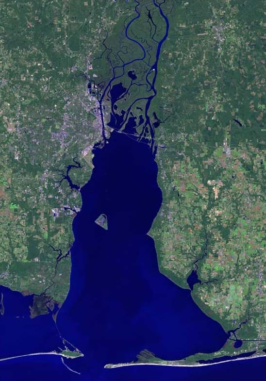
A study published on November 15 in Scientific Reports quantified shoreline change in Mobile Bay, Alabama, over the past 25 years, from 2000 to 2024 inclusive. The authors are Fatema Tuz Johra Nourin, Hemal Dey, Wanyun Shao and Dinuke Munasinghe.
The study used CoastSat, an open-source Python toolkit built on the Google Earth Engine cloud platform, to detect shoreline positions and analyze change rates. It also applied Hurst exponent analysis to shoreline change rates along 396 shore-normal transects to assess the persistence or randomness of shoreline change behavior.
The findings reveal substantial spatial heterogeneity across Mobile Bay. Dauphin Island exhibited the highest erosion rate, at minus 5.4 meters per year, along with the greatest shoreline variability between its northern and southern shores and the strongest responses to major hurricane events.
Funding came from the Department of the Treasury and from the Cooperative Institute for Research on Hydrology through a NOAA cooperative agreement with the University of Alabama. The paper presents a retrospective analysis of 25 years of satellite-derived shoreline data.
Source: Scientific
Published by GSM · USA (original Chinese edition)
Photo: Wikimedia Commons, File:Mobile bay alabama Cropped.jpg — Author: http://www.terraprints.com. Licensing: CC BY 2.5.
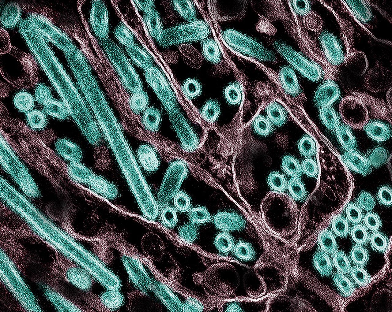 Wageningen Research Paper on November 12: Mathematical Modeling Compared Replication of Eight Avian Influenza Variants in Chicken and Duck Cells2026-11-16
 University of Michigan Study on November 12: 463 Adults Compared Across Three Relationship Types, With Emotional Intimacy in Chatbot Relationships Linked to Higher Loneliness2026-11-16