Miami Beach's New Federal Flood Maps Take Effect February 19; City Council Holds First Reading Vote on November 18
Miami Beach, in Miami-Dade County, Florida: new flood insurance rate maps for Miami Beach drawn up by the Federal Emergency Management Agency (FEMA) will formally take effect on February 19, 2027, and the city must update its local flood-protection rules before then. The City Commission is set to hold a first-reading vote on the related ordinance on November 18; the measure was introduced by Commissioner Laura Dominguez, and the first-reading hearing is scheduled for 10:50 a.m. FEMA notified the city in an August 19 certification letter that the new flood insurance study and rate maps for Miami-Dade County and its municipalities have been finalized.
The ordinance will revise the flood-protection provisions in Chapter 54 of the city code to make sure residents keep their eligibility for federal flood insurance and to preserve the city's Class 5 rating in the National Flood Insurance Program's Community Rating System, a rating that can give eligible policyholders premium discounts of up to 25%.
The city government said updating the rules is a necessary step to put the new maps into effect and protect residents' ability to buy flood insurance.
Published by GSM · USA (original Chinese edition)
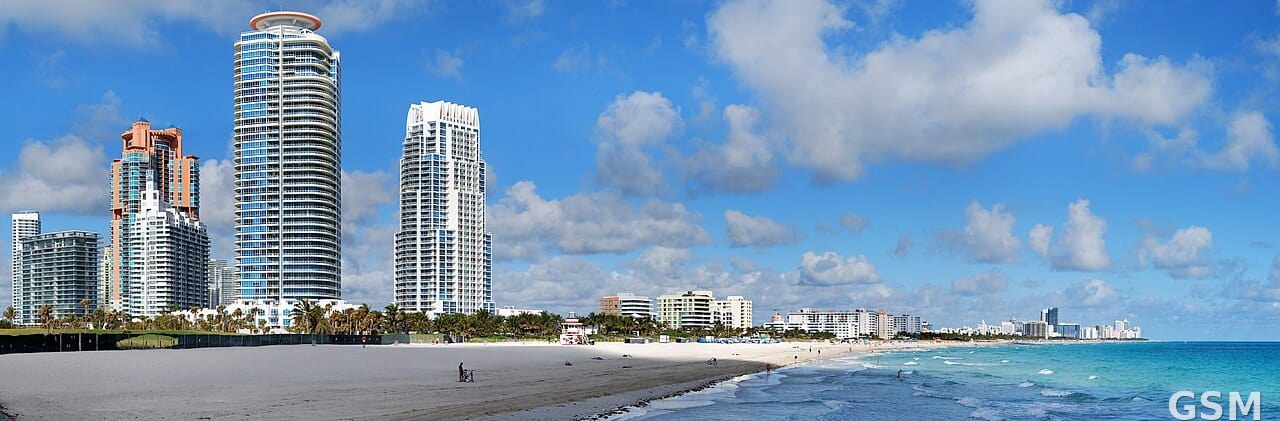
Photo: Wikimedia Commons,Matt H. Wade 拍摄,CC BY-SA 3.0;图中是迈阿密海滩全景;资料照片,非本事件实拍