
Magnitude 6.6 Earthquake Strikes Sea West of Tual, Maluku, Indonesia: 35 km Deep, No Tsunami Threat
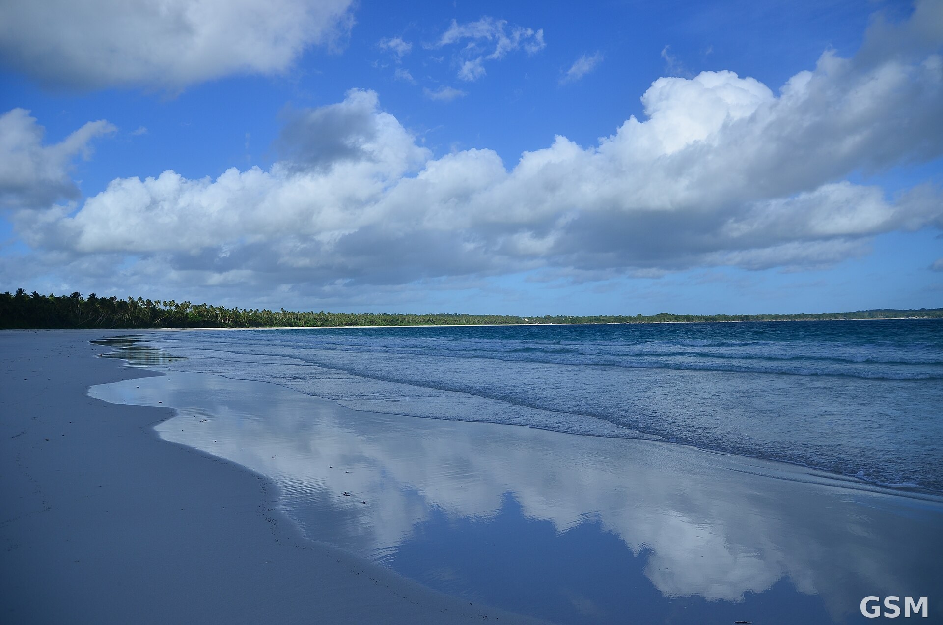
A magnitude 6.6 earthquake struck the Banda Sea about 151 kilometers west-southwest of Tual, in Indonesia's Maluku province, on November 16. The U.S. Geological Survey (USGS) put the origin time at 21:11 UTC, which is 06:11 on November 17 local time in eastern Indonesia and 13:11 Pacific time on November 16. The quake was about 35 kilometers deep, with an epicenter at 6.029 degrees south latitude and 131.446 degrees east longitude, in the sea west of the Kei Islands, where Tual is located.
The USGS assigned the event the ID us7000tymu. Its solution has been reviewed by a seismologist, is based on 95 reporting stations, and carries no tsunami flag. Indonesia's Meteorology, Climatology and Geophysics Agency (BMKG) measured the same earthquake at magnitude 7.1 with a depth of about 115 kilometers and said it had no tsunami potential. Differing parameters between agencies are common in the first hours after a strong earthquake.
As of publication, neither the USGS event data nor public reporting indicated casualties or damage from the earthquake. Earlier the same day, a magnitude 5.4 deep-focus earthquake struck southeast of South Buru in Maluku province at a depth of about 323 kilometers, also with no tsunami risk.
The Banda Sea lies along the complex boundary zone where the Indo-Australian Plate meets the Pacific and Eurasian plates, an area of frequent seismic activity. The waters around the epicenter border the Kei and Tanimbar islands.
Related:
(Source: U.S. Geological Survey)
Source: U.S. Geological Survey
Published by GSM · USA (original Chinese edition)
Photo: 印度尼西亚马鲁古Kei群岛Ngurbloat海滩资料图,震中位于该群岛以西海域。图:Miranda Rachellina/Wikimedia Commons,CC BY-SA 4.0。