Dense Fog Advisory Opens Sunday in Colorado as Next Snow Round Targets the Divide on Tuesday
The National Weather Service office in Pueblo issued a Dense Fog Advisory early on November 15 for El Paso County, Colorado, in effect until 9 a.m. Sunday, with sharply reduced visibility around Colorado Springs, Black Forest and Peterson Space Force Base; meanwhile, the mountains have just come through one round of snow and another is due along the Continental Divide on Tuesday.
Areas of dense fog will also spread across the southeast plains and into the San Luis Valley on Sunday morning, the weather service said, and patchy fog and low clouds may redevelop Sunday night across the plains and valleys, with lows in the 20s and 30s.
The departing storm left notable snow in the high country. A local storm report relayed by the weather service measured a 24-hour storm total of 12 inches at the Wolf Creek Ski Area, and the winter weather advisory that had covered the eastern San Juan Mountains ended Saturday evening as skies cleared.
Sunday highs reach the mid-to-upper 40s on the plains, the 40s to 50s over the higher terrain and only the 30s at the peaks. Monday turns dry, with plains highs back in the 50s.
On Tuesday, a quick-moving system brings snow along and west of the Continental Divide, with low-end advisory amounts possible mainly across the eastern San Juan Mountains. The plains, by contrast, turn warmer, dry and breezy with highs in the 60s on Tuesday and Wednesday, before another unsettled system reaches the Divide on Thursday and Friday.
(Source: National Weather Service, Pueblo)
Source: National Weather Service, Pueblo
Published by GSM · USA (original Chinese edition)
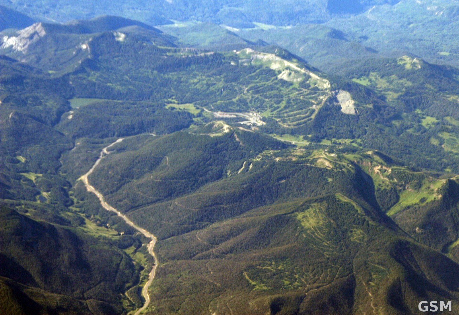
Photo: 图片来源:Wikimedia Commons,Wolf Creek Pass与滑雪场一带(资料图,Doc Searls摄),CC BY-SA 2.0 | Image: Wikimedia Commons, Wolf Creek Pass and Ski Area, Colorado (file photo), by Doc Searls, CC BY-SA 2.0