Storm Brings Heavy Rain and 55 mph Gusts to Washington as Flood Warning Covers Skokomish River
The National Weather Service office in Seattle said on November 14 that a frontal system sweeping western Washington from late Saturday into Sunday would bring steady rain and strong winds, with a flood warning in effect for the Skokomish River and coastal gusts reaching 55 mph.
A Wind Advisory covers the coast and the San Juan Islands, with gusts of 50 to 55 mph through 4 a.m. Sunday, while Whidbey Island and Admiralty Inlet can expect gusts of 40 to 50 mph and other areas turn breezy at 25 to 40 mph. Weak instability of about 150 to 300 joules per kilogram could also trigger localized thunderstorms along the coast and the Olympic Peninsula.
A Flood Watch runs through Sunday morning for Olympia, the southern Puget Sound lowlands, the Olympics and the southern Hood Canal area, and a Coastal Flood Advisory is in effect for the San Juan Islands from 8 a.m. to noon Sunday. The Skokomish River at Potlatch is under a Flood Warning, with minor flooding forecast from late Saturday night into Sunday morning; no flooding is expected on other rivers over the next seven days.
A Storm Warning covers the coastal waters, where gusts of 40 to 50 knots overnight will build seas of 20 to 22 feet, up to 25 feet offshore, easing to 15 to 18 feet Sunday morning. A High Surf Advisory for the Grays Harbor County coast and the northern Washington coast runs until 10 a.m. Sunday, followed by a High Surf Warning through 10 a.m. Monday.
Highs across western Washington reach the mid-to-upper 50s on Sunday before cooling to the low 50s on Monday, with post-frontal showers lingering through Sunday.
(Source: National Weather Service, Seattle)
Source: National Weather Service, Seattle
Published by GSM · USA (original Chinese edition)
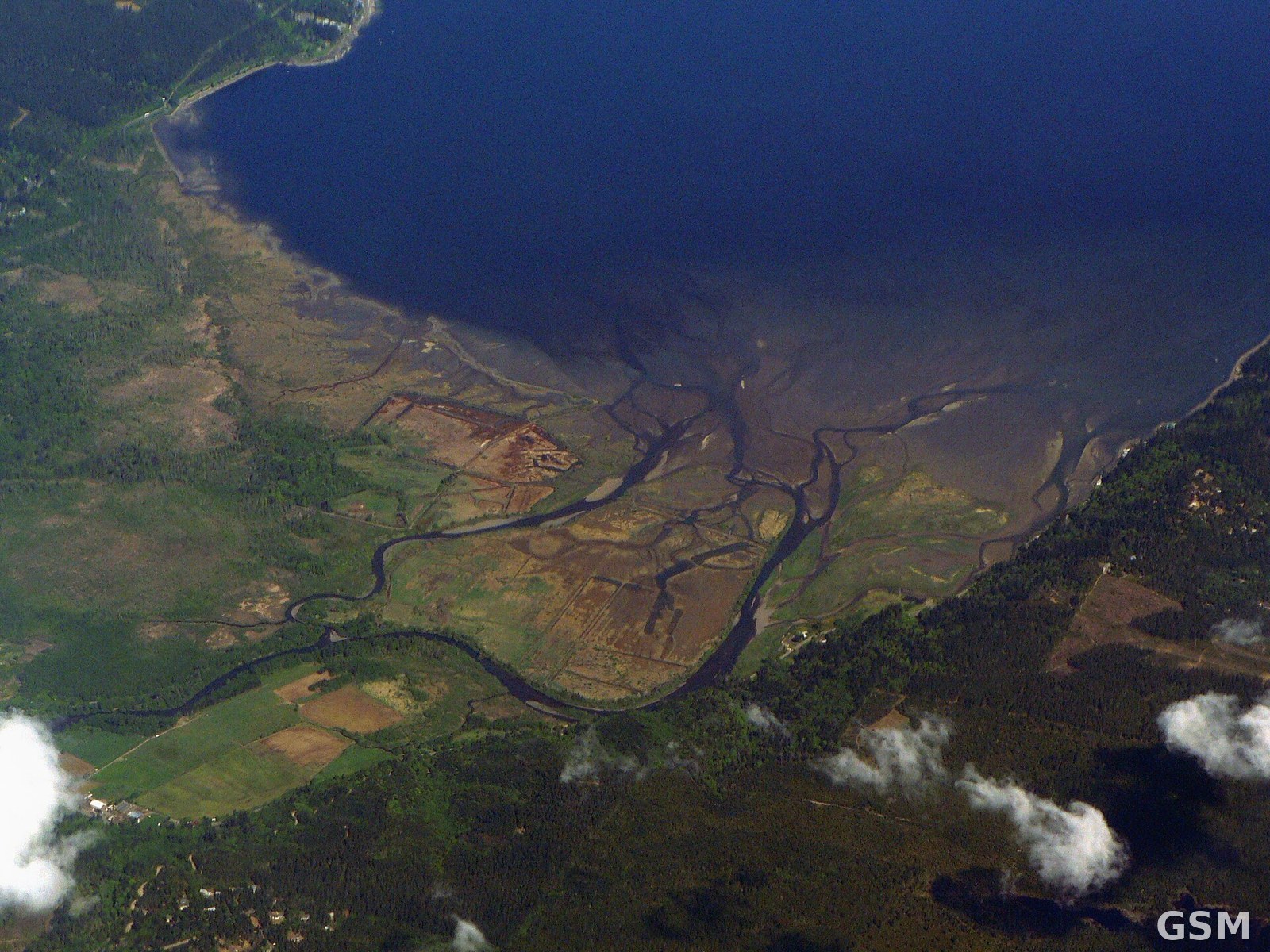
Photo: 斯考科米什河三角洲(资料图)。图:Walter Siegmund 摄,CC BY-SA 3.0,Wikimedia Commons / The Skokomish River Delta (file photo). Photo by Walter Siegmund, CC BY-SA 3.0, via Wikimedia Commons