Isaias at 105 mph Heads for Florida Panhandle Landfall Tonight; Surge Up to 7 Feet
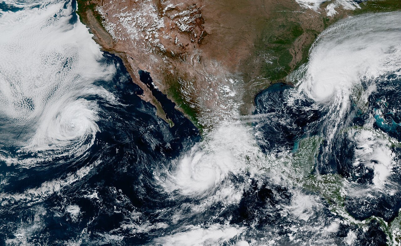
Hurricane Isaias held Category 2 strength with 105 mph maximum sustained winds in the National Hurricane Center's overnight intermediate advisory, centered about 230 miles south of the Mississippi River mouth and moving north-northeast at 14 mph. Forecasters expect it to edge close to major-hurricane strength later today, then weaken slightly before making landfall tonight into early Saturday within the hurricane warning area along the Alabama–Florida Panhandle coast.
A hurricane warning runs from Ocean Springs, Mississippi, to the Bay/Gulf County line in Florida, and NHC says preparations to protect life and property should be rushed to completion. The biggest threat remains water: storm surge of 5 to 7 feet is possible from Dauphin Island, Alabama, to Indian Pass, Florida, with 4 to 6 feet in Mobile Bay — inundation NHC calls life-threatening. Rainfall of 4 to 8 inches, locally 15, is expected across southern Alabama, the Florida Panhandle and Big Bend and into southwest Georgia, with tornadoes possible near the coast starting tonight.
The next complete NHC advisory is due at 4 a.m. Central. (GSM summary of NHC advisories.)
Published by GSM · USA (original Chinese edition)
Photo: Public domain (Wikimedia Commons)
- 2026-10-07Isaias Strengthens Into a Category 1 Hurricane, Landfall Friday Night
- 2026-10-08Isaias Strengthens to 85 mph; Florida's Escambia County Orders Coastal Zone Evacuations
- 2026-10-08Hurricane Isaias Nears Gulf Coast: Landfall Friday Night, Surge Up to 7 Feet
- 2026-10-09Isaias at 105 mph Heads for Florida Panhandle Landfall Tonight; Surge Up to 7 FeetThis story
- 2026-10-09Florida Puts 27 Counties Under Emergency as Hurricane Isaias Nears
- 2026-10-19Florida Requests Major Disaster Declaration for Hurricane Isaias; Santa Rosa County Reports Over $165 Million in Damage