Follow-Up: Azusa Peak Fire Grows to About 60 Acres; AZU-MC01 Order Downgraded to a Warning
AZUSA — The Peak Fire, a brush fire that broke out on the afternoon of October 15 in the foothills north of San Gabriel Canyon Road in Azusa, Los Angeles County, has continued to grow. According to the Los Angeles County Fire Department's afternoon update, the burned area has expanded from the 22 acres reported earlier to roughly 50 to 60 acres, with incident command putting the latest figure at about 60 acres. At the same time, zone AZU-MC01, which had been under an evacuation order at the height of the threat, has been downgraded to an evacuation warning, and evacuation warnings for six other zones have been lifted; no zone remains under an evacuation order. The Cal Fire incident page was last updated at 2:21 p.m., so the acreage and evacuation status in this report follow the afternoon figures released by the unified command of the County Fire Department and the U.S. Forest Service's Angeles National Forest.
The current evacuation picture is as follows. Zones still under an evacuation warning are AZU-MC01 (downgraded from an order), LAC-E168-B and LAC-E170-B. The six zones whose warnings have been lifted are AZU-ABC01, AZU-CYN01-A, AZU-NOB01, AZU-QRY01, LAC-E168-A and LAC-E170-A. The evacuation shelter at the Azusa Memorial Park Recreation Center, 340 N Orange Ave, remains open.
On the firefight, the County Fire Department and the Angeles National Forest continue under unified command. Water-dropping helicopters are drawing water from a nearby reservoir, and ground crews continue structure protection on the slopes above homes near Foxtail Court and Poppyglen Court. As of publication, unified command had not announced a containment percentage, and officials had issued no new reports of injuries or structures damaged; the cause remains under investigation. The National Weather Service put winds in Azusa at about 7 mph, but the Red Flag Warning for the county remains in effect through 8 p.m. Saturday, and fire danger remains elevated.
Background: the fire ignited shortly after 1 p.m. on slopes north of San Gabriel Canyon Road and Mirador Drive, above homes near Foxtail Court and Poppyglen Court; Cal Fire lists the start time as 1:43 p.m. It grew rapidly within hours: 15 acres at 1:47 p.m., 20 acres with structures threatened at 1:54 p.m., and 22 acres at 2:02 p.m. The Azusa Police Department issued an immediate-evacuation alert via AlertLACounty at 1:40 p.m. for the Roberts and San Gabriel Canyon area, and zone AZU-MC01 was then confirmed under an evacuation order. At 2:06 p.m., eight surrounding zones were placed under evacuation warnings, and the shelter at 340 N Orange Ave opened at 2:19 p.m. GSM's first report covered the evacuation order and the initial firefight; this is a follow-up on the same incident thread.
(Sources: Los Angeles County Fire Department afternoon update, via MyNewsLA; incident command figures, via the New York Post; Cal Fire Peak Fire incident page, updated 2:21 p.m. Oct. 15; AlertLACounty / Azusa Police Department alert)
Source: GSM · USA (original Chinese edition)
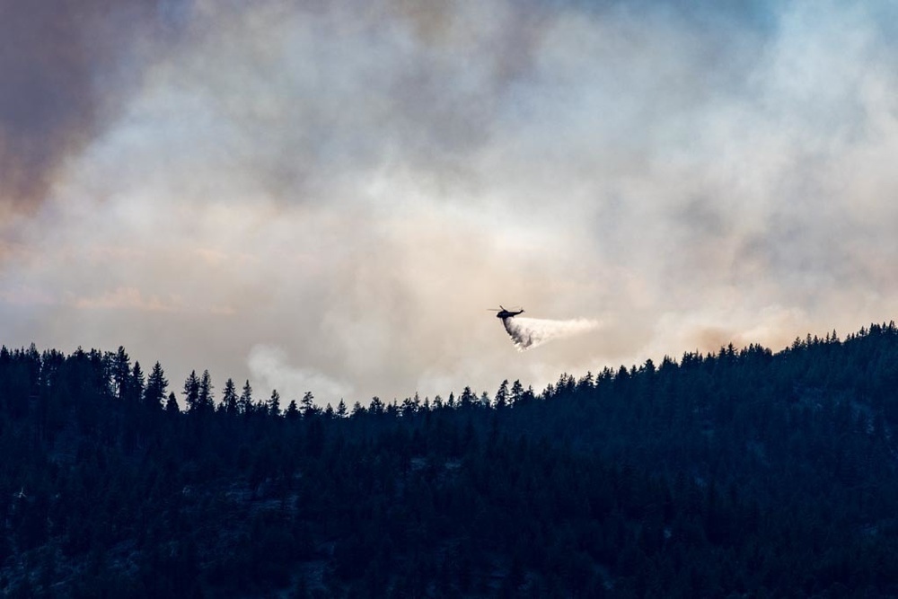
Photo: 图:消防直升机向山火投水灭火(资料照片)。美国空军国民警卫队SMSgt Paula Macomber摄,公共领域,取自DVIDS。File photo: a firefighting helicopter drops water on a wildfire. Photo by SMSgt Paula Macomber, U.S. Air National Guard, public domain, via DVIDS.
- 2026-10-15Peak Fire in Azusa Grows to 22 Acres; Evacuation Order in Effect as Helicopters Drop Water to Protect Homes
- 2026-10-15Follow-Up: Azusa Peak Fire Grows to About 60 Acres; AZU-MC01 Order Downgraded to a WarningThis story
- 2026-10-15Follow-Up: Azusa Peak Fire Remapped at 43 Acres as Containment Rises to 41%
- 2026-10-17Roundup: All Four Southern California Wildfires Moving Toward Containment — Henderson at 50%, Norte Evacuations Fully Lifted