Hand-Drawn Mason-Dixon Line Map Goes to Auction in Asheville, Buncombe County, North Carolina on October 29: Estimate $800,000 to $1.2 Million
Brunk Auctions in Asheville, Buncombe County, North Carolina, offered a hand-drawn map of the Mason-Dixon Line at a live auction on October 29. The map once marked the dividing line between North and South and is regarded as one of the most influential maps in American history.
Lauren Brunk, the auction house's vice president, said the map measures 76 inches long by 6.5 inches high, is backed with linen, and has been remounted on Japanese washi paper; its estimate is between $800,000 and $1.2 million.
The map was originally surveyed by Charles Mason and Jeremiah Dixon to settle a boundary dispute between the colonies of Maryland and Pennsylvania, and was later used in the Missouri Compromise of 1820 as the line between free states and slave states, the origin of the term 'Dixie.' Soon after it was drawn, the map passed to the Chew family, agents and attorneys for the descendants of Pennsylvania founder William Penn, until the late publisher Malcolm Forbes bought it in 1982 for $360,000, then a record price for an American map at auction.
Source: GSM · USA (original Chinese edition)
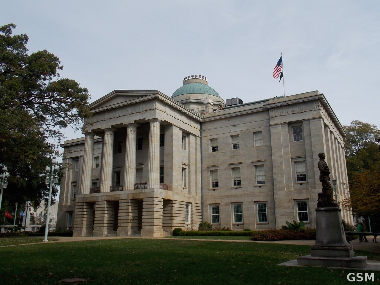
Photo: 北卡罗来纳州议会大厦,位于罗利。 / The North Carolina State Capitol in Raleigh.