USGS Begins Low-Level Geology Flights Over Central Texas, Mapping the Llano Uplift for Critical Minerals
RESTON, Va. — Low-level airplane flights will begin in early November over central Texas to image geology using airborne geophysical technology, the U.S. Geological Survey (USGS) announced in a media alert on November 3.
The flights are a collaborative effort between the USGS Earth Mapping Resources Initiative (Earth MRI) and the Texas Bureau of Economic Geology. Earth MRI is an effort to modernize the nation's maps of geology and mineral resources, and to identify energy and groundwater resources and natural hazards.
"Partnership with state surveys helps accomplish national goals like mapping the critical minerals the U.S. needs. The Texas Bureau of Economic Geology is helping with the work of the nation — and adding to state knowledge crucial to water resources, hazards and the resource economy," said Jamey Jones, science coordinator for the USGS Earth Mapping Resources Initiative.
"Earth MRI datasets are the result of a coordinated federal-state partnership designed to acquire modern geoscientific data at a statewide scale, make those data publicly available, and significantly advance our understanding of the geology of Texas. The 2026 airborne geophysical survey is one of the largest efforts of its kind in the state, targeting the Llano Uplift in Central Texas, a region of growing interest for its potential to support domestic supplies of critical minerals and rare earth elements," said Texas State Geologist Lorena Moscardelli, director of the Texas Bureau of Economic Geology.
The Llano Uplift survey includes a focus area for graphite, which is needed for advanced batteries. Historical mining records within the survey area indicate other critical minerals such as rare earth elements, tantalum, niobium and tungsten are present. The survey will also inform strategic priorities of the Texas Bureau of Economic Geology, including a silver-lead-zinc focus area and groundwater resources controlled by regional faults.
The survey includes magnetic and radiometric data collection from aircraft along pre-planned flight lines spaced 660 feet (200 meters) apart at a nominal terrain clearance of 330 feet (100 meters). The USGS has contracted NV5 to collect the data. Its fixed-wing aircraft is equipped with an elongated stinger extending from the tail that houses the sensors. The instruments are completely passive, with no emissions that pose a risk to humans, animals or plant life, and no photography or video data will be collected. The pilots are specially trained and approved for low-level flying, work with the FAA, and the surveys will be conducted during daylight hours only.
Flights will be based out of Llano Municipal Airport and will fly over eleven Texas counties: Blanco, Burnet, Gillespie, Kerr, Kimble, Lampasas, Llano, McCulloch, Mason, Menard and San Saba.
Earth MRI also includes geochemical reconnaissance surveys, topographic mapping using LiDAR technology, hyperspectral surveys and geologic mapping projects. The data collected are made freely available to the public on the USGS ScienceBase website.
(Source: U.S. Geological Survey)
Source: U.S. Geological Survey
Published by GSM · USA (original Chinese edition)
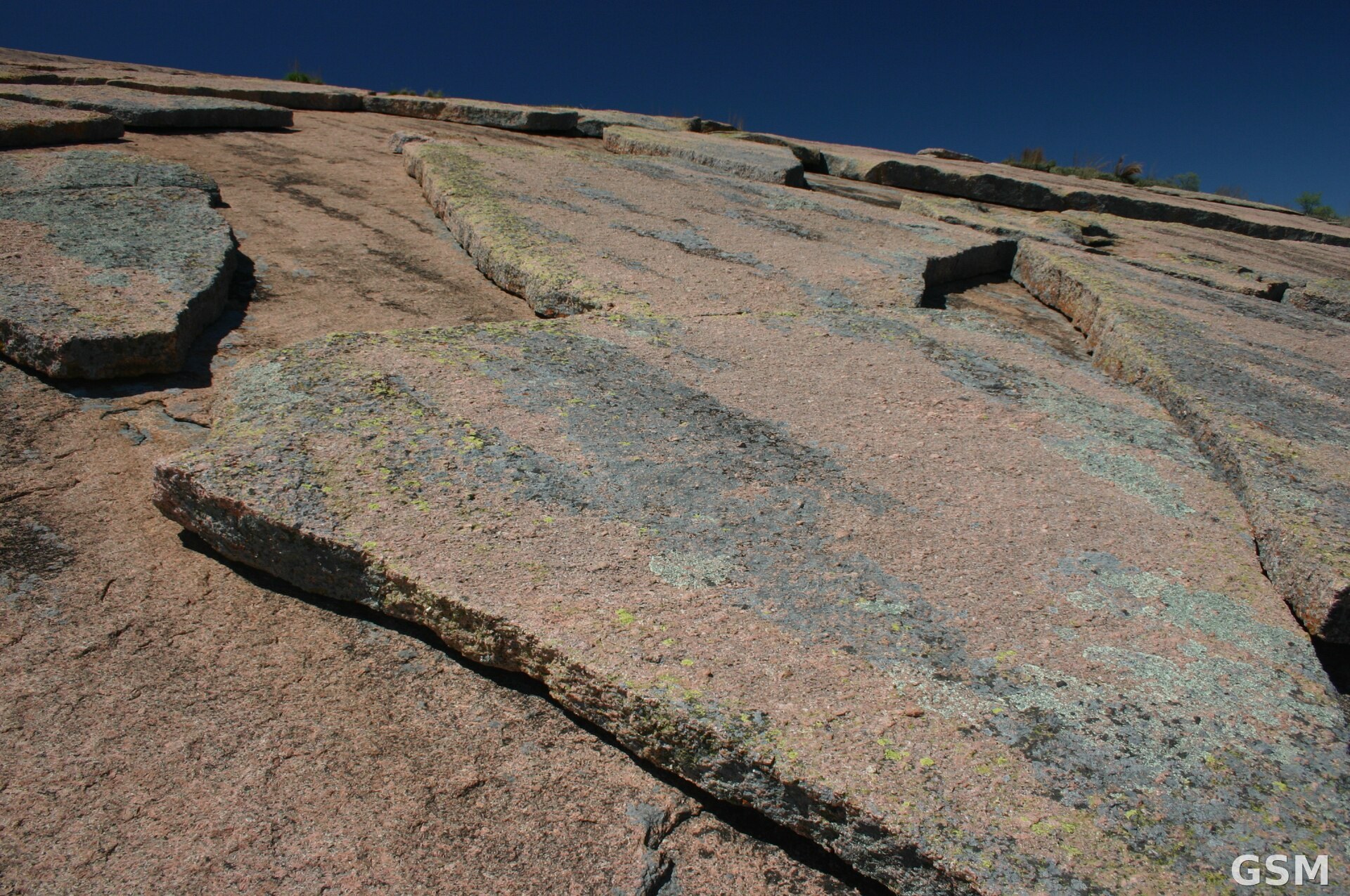
Photo: 图:德克萨斯州 Enchanted Rock 的粉红花岗岩穹丘剥落面,该岩体位于本次调查的 Llano Uplift 区域内。Wing-Chi Poon 摄,CC BY-SA 2.5,经 Wikimedia Commons。 / Photo: Geological exfoliation of the pink granite dome at Enchanted Rock, Texas, within the Llano Uplift survey area. By Wing-Chi Poon, CC BY-SA 2.5, via Wikimedia Commons.