Flood Watch for Rhode Island and Southeast Massachusetts Through Saturday Morning: 2 to 3 More Inches of Rain
A Flood Watch issued by the National Weather Service office in Boston/Norton remains in effect through Saturday morning, November 7, covering all of Rhode Island and southeastern Massachusetts, including Barnstable, Dukes, Plymouth and Bristol areas, with Providence, Fall River, New Bedford, Brockton, Taunton and Newport among the cities included. The Weather Service's early Saturday zone forecast keeps the Flood Watch in place for Southern Bristol until 10 a.m. EST.
Forecasters say periods of heavy rain through Saturday morning may bring an additional 2 to 3 inches of rainfall across Rhode Island and southeast Massachusetts, with a low risk, less than 30 percent, of isolated higher amounts. Excessive runoff may flood rivers, creeks, streams and other low-lying locations, flooding may occur in poor-drainage and urban areas, and storm drains and ditches may become clogged with debris.
Showers are expected mainly on Saturday morning with highs in the mid 60s before the rain tapers off, turning mostly sunny on Sunday with highs around 60. Residents in the watch area should monitor later forecasts and be alert for possible Flood Warnings, and those living in flood-prone areas should be prepared to act if flooding develops. (Source: National Weather Service)
Source: National Weather Service
Published by GSM · USA (original Chinese edition)
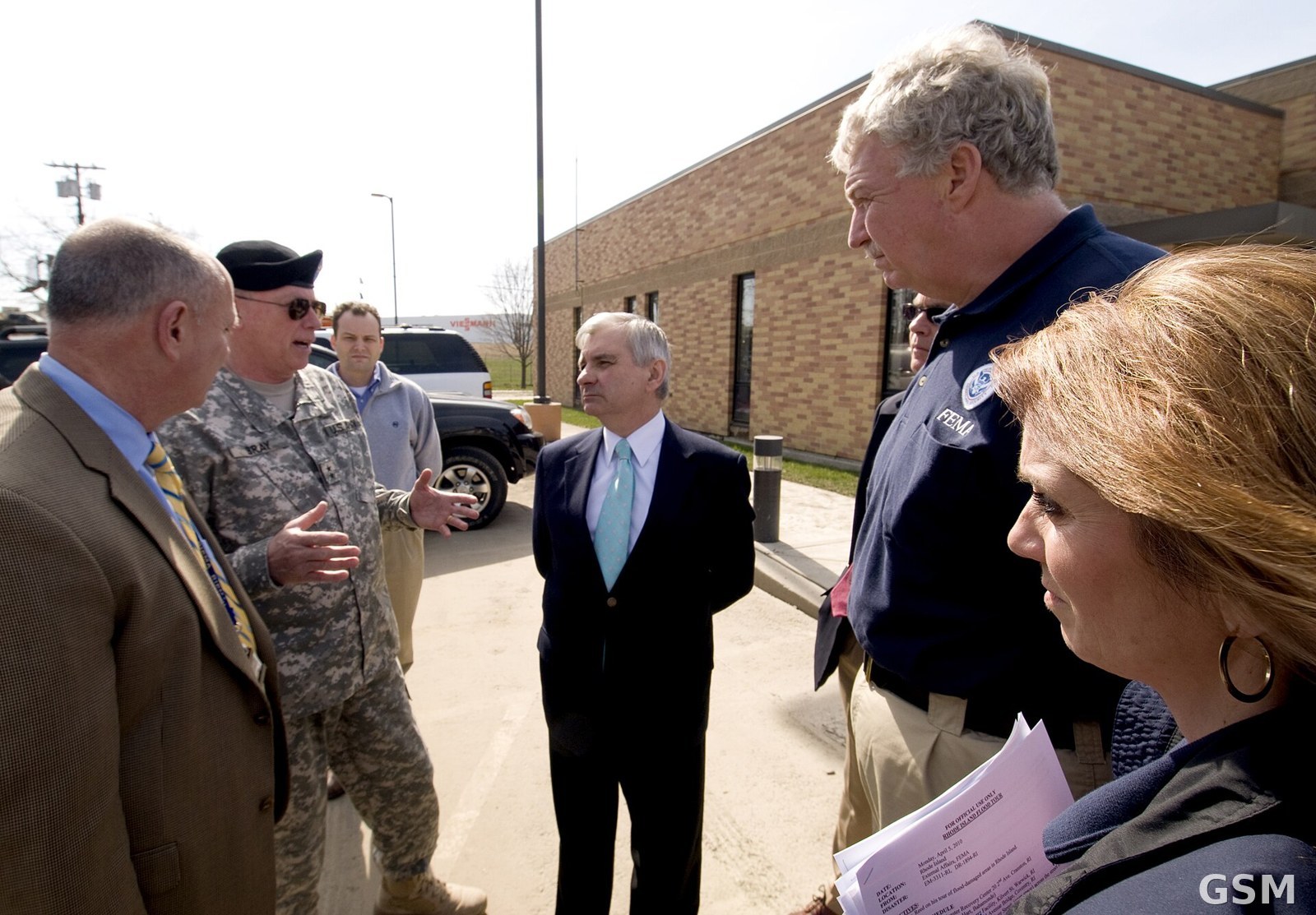
Photo: 图片来源:罗德岛洪灾受损设施(FEMA 摄,Wikimedia Commons,Public domain) / Image: Flood-damaged facility in Rhode Island, by FEMA, Wikimedia Commons (Public domain)