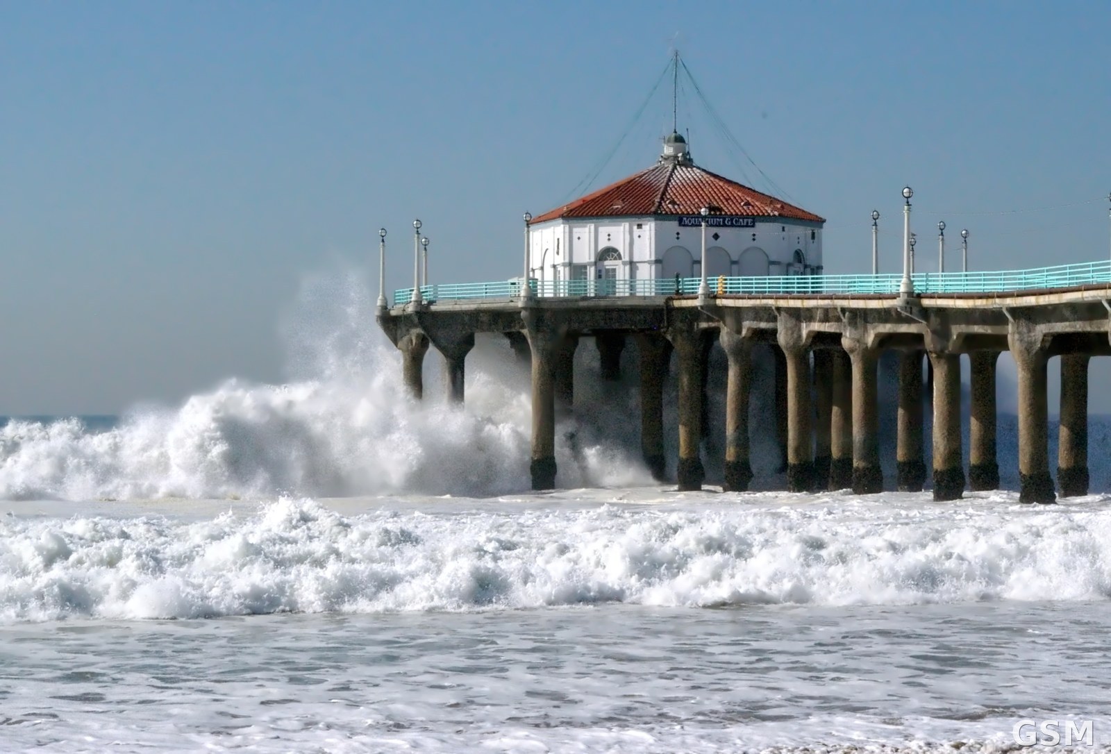
Follow-up: Sierra Winter Storm Warning Downgraded to a Winter Weather Advisory; Wednesday System Could Bring Up to 24 Inches at High Elevations
The National Weather Service office in Hanford said in its forecast discussion on the afternoon of November 14 that the Winter Storm Warning for the Sierra Nevada above 6,000 feet has been replaced by a Winter Weather Advisory, in effect through 4 a.m. Tuesday. The main body of this week's storm has moved through, leaving the mountains in a break between systems.
Forecasters expect the next system on Monday, with snow levels around 6,500 to 7,000 feet and up to about 6 additional inches of snow at the highest elevations. Below the snow level, rain is expected, and the chance of more than a quarter inch of rain in 24 hours on Monday is 30 to 40 percent for the San Joaquin Valley. Patchy dense fog is possible in the central San Joaquin Valley on Sunday morning, with a 40 to 50 percent chance of development.
Another system is forecast to drop in from the north Pacific early Wednesday and last into Friday, similar in strength to the one that just passed: snow levels near 6,000 feet, general totals of 5 to 10 inches across the Sierra Nevada, and higher-end totals upwards of 24 inches at the highest elevations. Temperatures will run near seasonal averages this weekend before falling below average for the work week.
The Sierra storm, upgraded from a watch to a warning on November 12, has brought up to 20 inches of snow at high elevations around Lake Tahoe. With the warning downgraded, the main travel risk shifts to the additional snow from the Monday and Wednesday systems.
(Source: National Weather Service)
Source: National Weather Service
Published by GSM · USA (original Chinese edition)
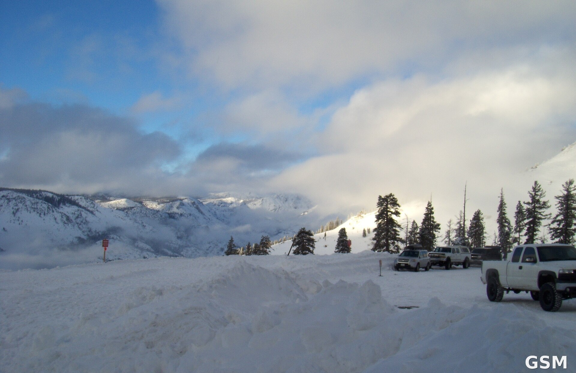
Photo: 图片来源:Wikimedia Commons,Shaggywoody 摄「CA Highway 4 at Bear Valley Jan. 23, 2010」(公共领域),图中为加州 Sierra Nevada 山区 Bear Valley 一带风暴过后的雪景(原图底部时间戳已裁去) Image: Wikimedia Commons, "CA Highway 4 at Bear Valley Jan. 23, 2010" by Shaggywoody (public domain), showing snow near Bear Valley in California's Sierra Nevada after a January storm (timestamp at bottom cropped)
- 2026-11-11Winter Storm Watch for the Sierra Nevada: 6 to 12 Inches of Snow Possible Above 6,000 Feet Starting Friday
- 2026-11-12Winter Storm Watch for California's Sierra Nevada: 6 to 12 Inches of Snow Above 6,000 Feet
- 2026-11-12Follow-Up: Winter Storm Warning Issued for the Sierra Nevada, Up to 2 Feet of Snow Above 6,000 Feet Starting Friday
- 2026-11-12The National Weather Service Upgrades Sierra Nevada Winter Storm Watches to Warnings on November 12: About 12 Inches of Snow Above 7,000 Feet Around Lake Tahoe and Ridge Gusts of 70 to 90 Miles an Hour From Friday Morning
- 2026-11-13Follow-up: Winter Storm Warnings in Effect for the Sierra Nevada, With Up to 20 Inches of Snow Near Lake Tahoe and Ridge Gusts of 70 to 90 mph
- 2026-11-14Winter Storm Warning: Up to 20 Inches of Snow Expected Above 6,000 Feet in California's Sierra Nevada
- 2026-11-14Follow-up: Sierra Winter Storm Warning Downgraded to a Winter Weather Advisory; Wednesday System Could Bring Up to 24 Inches at High ElevationsThis story