Magnitude 5.5 Earthquake Strikes East of Union, Philippines, at About 10 km Depth
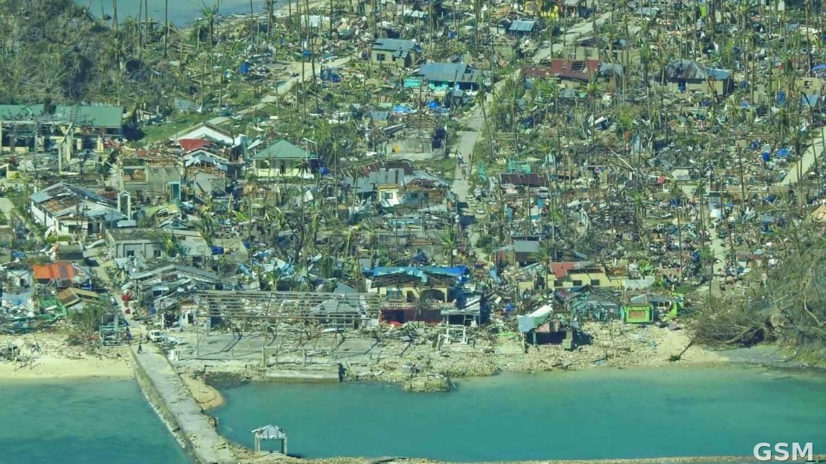
A magnitude 5.5 earthquake struck 9 km east of Union, Philippines, on November 15, according to the U.S. Geological Survey (USGS) real-time event catalogue, event ID us7000tyek, with the solution reviewed by USGS.
The earthquake occurred at 13:41:35 UTC on November 15, which is 05:41 Pacific Time and 21:41 Philippine local time the same day. The epicentre was at 9.7595 degrees north latitude and 126.2 degrees east longitude, at a depth of about 9.97 km, making it a shallow earthquake.
The USGS event record carries a tsunami flag of 0, meaning no tsunami indication was flagged in that record. As of publication, the USGS record showed no felt-report data. This report states only the magnitude, time, location and depth confirmed by USGS and does not speculate on casualties or damage.
GSM will publish a follow-up if local authorities release new information on casualties, building damage or tsunami assessments.
Source: U.S. Geological Survey
Published by GSM · USA (original Chinese edition)
Photo: 图:菲律宾锡亚高岛(Siargao)航拍资料图,震中位于该岛 Union 以东9公里。照片:Philippine Coast Guard,公共领域,经 Wikimedia Commons。 / Photo: Aerial file photo of Siargao Island, Philippines; the epicentre was 9 km east of Union on the island. Photo by the Philippine Coast Guard, public domain, via Wikimedia Commons.