Hurricane Isaias Slams the Gulf Coast After Landfall Near Destin, With Widespread Outages and Flooding
Hurricane Isaias made landfall near Destin, Florida, at 8:30 p.m. CDT on October 9 as a Category 2 hurricane with maximum sustained winds of 105 mph and a central pressure of 971 mb, according to the National Hurricane Center. The storm then moved north into the Florida Panhandle and inland Alabama, weakening to a Category 1 storm with winds near 90 mph by 10 p.m. CDT.
Damaging winds and storm surge were reported across the Gulf Coast. A gust of 116 mph was recorded near Santa Rosa Sound, and a NOAA water-level station at Panama City Beach measured water about 5.6 feet above mean higher high water. The NHC kept a storm surge warning in effect from Dauphin Island, Alabama, to the Suwannee River in Florida.
Flash flood emergencies were issued around Fort Walton Beach and Destin. The NHC expects 4 to 8 inches of rain across the Florida Panhandle, southern Alabama and southwest Georgia, with local totals up to 15 inches. Tornadoes, destructive inland gusts and flash flooding remain possible on Saturday as the system moves inland. Power-tracking services reported hundreds of thousands of outages across Florida, Alabama and Georgia, with totals still changing.
Florida has expanded its emergency declaration to 27 northern counties.
(Sources: National Hurricane Center, National Weather Service and NOAA water-level data, evening of October 9, 2026)
Source: 美国国家飓风中心
Published by GSM · USA (original Chinese edition)
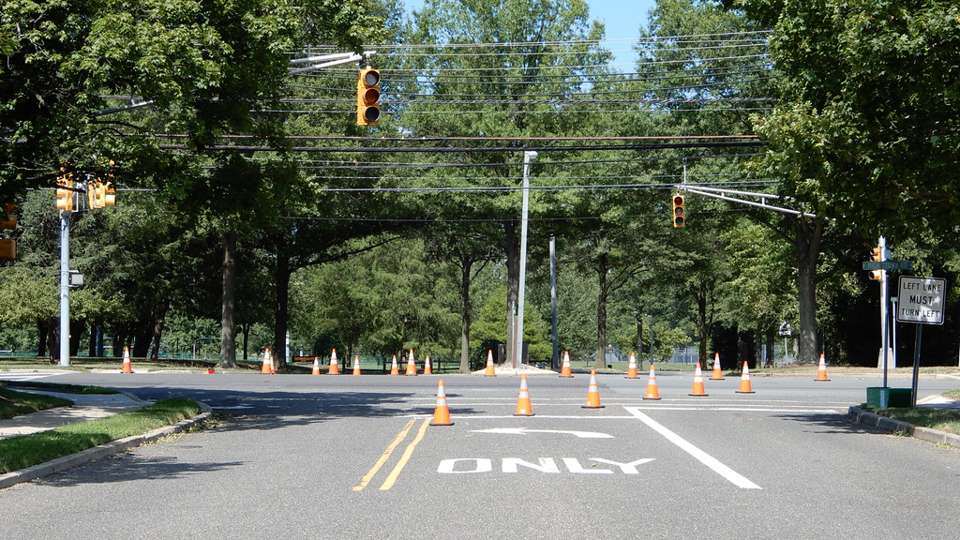
Photo: 图:飓风登陆后封闭的路口,路面摆满交通锥(资料图)。