Follow-Up: Subtropical Storm Josephine About 195 Miles Southeast of Nantucket: New England Coastal Gusts May Top 50 mph
A nor'easter that had battered the U.S. East Coast for days became Subtropical Storm Josephine on the afternoon of October 21, the 10th named storm of the 2026 Atlantic hurricane season. In its 5 a.m. ET advisory on October 22, the National Hurricane Center (NHC) put Josephine's center about 195 miles southeast of Nantucket, Massachusetts, with maximum sustained winds of 65 mph and a central pressure of 988 mb, moving northeast at about 13 mph and accelerating away from the U.S. coast. At formation, the center had been about 265 miles south of Nantucket.
The NHC expects Josephine to strengthen slightly later on October 22, reaching about 70 mph, and to become a powerful hurricane-force extratropical cyclone with maximum winds near 80 mph early on October 23 before gradually weakening over the North Atlantic. No tropical cyclone watches or warnings are in effect for the U.S. coast; the storm will stay offshore and pass south of Newfoundland.
The storm's large wind field is still bringing gusty winds, heavy surf and coastal flooding to the Eastern Seaboard. The NHC says Nantucket and Martha's Vineyard could see gusts exceeding 50 mph, with gusts of 30 to 40 mph on Long Island and in eastern Massachusetts, and the National Weather Service has issued gale warnings for parts of the Northeast and Mid-Atlantic waters. Minor to locally moderate coastal flooding continues along the Mid-Atlantic coast around high tides, and large swells are producing life-threatening surf and rip-current conditions along much of the U.S. East Coast and parts of Atlantic Canada. (GSM, based on National Hurricane Center and Associated Press reporting)
Published by GSM · USA (original Chinese edition)
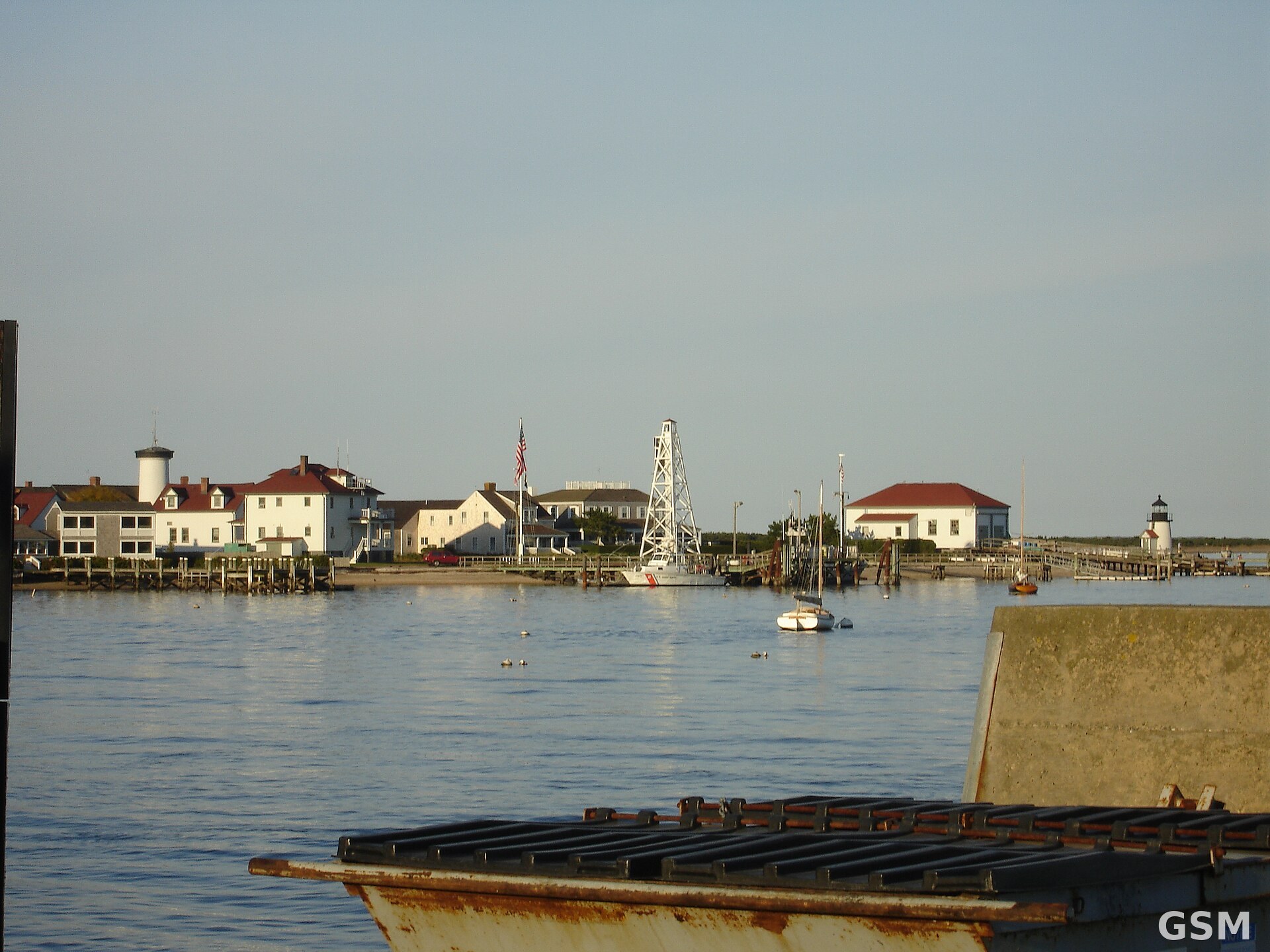
Photo: 图片来源:Wikimedia Commons,CC BY-SA 4.0,作者 Kevin Rutherford(Ktr101);资料图:自 Nantucket 港眺望 Brant Point 海岸警卫队站与灯塔,非本次风暴实拍 / Photo: Wikimedia Commons, CC BY-SA 4.0, by Kevin Rutherford (Ktr101); file photo of Coast Guard Station Brant Point and its lighthouse seen across Nantucket Harbor, not taken during this storm
- 2026-10-17Nor'easter Bears Down on North Carolina's Outer Banks: Visitors Ordered off Hatteras Island as Coastal Flood Warning Runs Through October 20
- 2026-10-19Nor'easter Reaches North Carolina's Outer Banks on Sunday: Minor Overwash on Highway 12, Road Stays Open; Worse Flooding Expected Monday and Tuesday
- 2026-10-21Follow-Up: Nor'easter Hits the Outer Banks: NC-12 Closed as Seawater Inundates Rodanthe Neighborhoods
- 2026-10-21Update: Nor'easter Becomes Subtropical Storm Josephine; NC-12 Already Damaged on the Outer Banks
- 2026-10-22Follow-Up: Subtropical Storm Josephine About 195 Miles Southeast of Nantucket: New England Coastal Gusts May Top 50 mphThis story