India: Severe Cyclonic Storm Murasu Makes Landfall Near Ongole in Andhra Pradesh With Gusts to 120 kmph
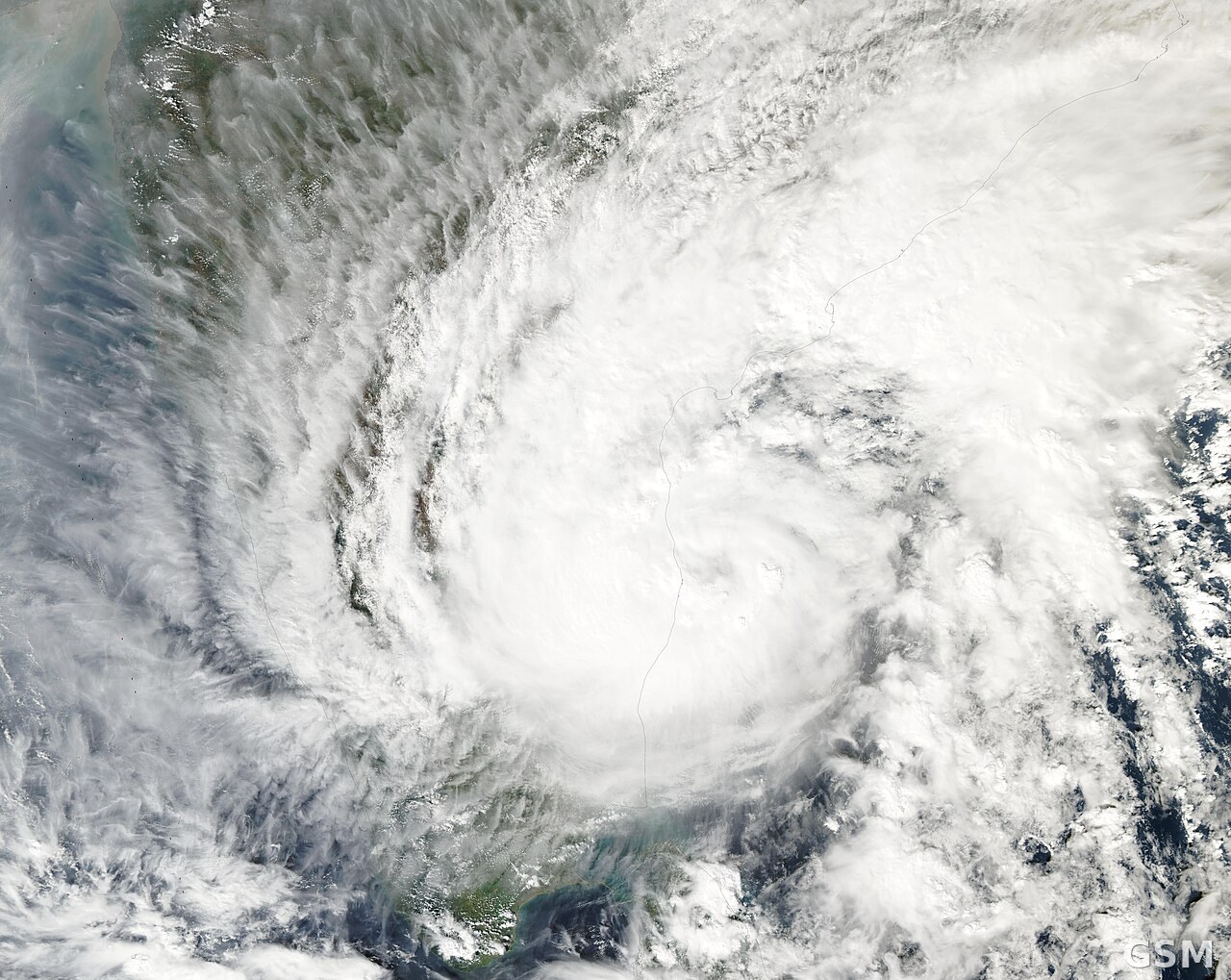
The India Meteorological Department (IMD) said Severe Cyclonic Storm Murasu over the Bay of Bengal began its landfall process on the south Andhra Pradesh coast at 1 a.m. on November 3 and crossed the coast between Nellore and Narsapur, close to Ongole, between 3:30 and 5:30 a.m., with sustained winds of 100 to 110 kmph gusting to 120 kmph. At 5:30 a.m. the centre lay near Ongole, about 40 km southwest of Bapatla, 80 km north-northeast of Kavali and 120 km from Machilipatnam.
The IMD said Murasu will continue moving north-northwest and weaken gradually, into a cyclonic storm with winds of 80 to 90 kmph gusting to 100 kmph by noon, and further into a deep depression at 55 to 65 kmph gusting to 75 kmph by midnight. The system is under continuous surveillance by Doppler weather radars at Machilipatnam and Visakhapatnam, and fishermen have been advised not to venture along and off the Andhra Pradesh coast until the afternoon of November 4.
Murasu has brought heavy rain to south coastal Andhra Pradesh since Monday: the Andhra Pradesh State Disaster Management Authority recorded the highest rainfall of 198.01 mm at Naguluppalapadu in Prakasam district between 8:30 a.m. Monday and 6 a.m. Tuesday. Heavy to very heavy rainfall with isolated extremely heavy showers is forecast on Tuesday over Bapatla, Guntur, Krishna and Palnadu districts, and a storm surge of 1 to 1.5 metres above astronomical tide is likely to inundate low-lying areas of the south coast, peaking over Bapatla, Krishna and Prakasam districts.
Published by GSM · USA (original Chinese edition)
Photo: 照片:孟加拉湾上空热带气旋的卫星图(资料图),NASA MODIS Land Rapid Response Team 摄,Wikimedia Commons,公共领域 / Photo: Satellite view of a tropical cyclone over the Bay of Bengal (file photo), by NASA MODIS Land Rapid Response Team, Wikimedia Commons, public domain