First Alert Weather Day in Greenville, Greenville County, South Carolina on Nov. 4: Cold Front Brings Heavy Thunderstorms and Isolated Flooding
Western South Carolina had a First Alert Weather Day on November 4 as a cold front brought heavy rain, thunderstorms and a slight severe-weather threat, and residents in Greenville and the western Carolinas were urged to take care traveling. According to FOX Carolina's November 4 report, unseasonably warm, humid air set the stage for rain to develop; as the front approached from the west, rain built through the afternoon, spread during the evening commute with low visibility and possible ponding on roads, and after-school activities were likely to be canceled because of heavy rain and lightning.
The highest severe-weather risk ran from 2 to 6 p.m. The overall threat was low, but damaging straight-line winds and an isolated brief tornado could not be ruled out. Most areas were expected to receive a quarter inch to 1 inch of rain, with parts of the southern mountains possibly exceeding 3 inches and triggering isolated flooding. The next morning brings dense fog in the mountains, with spotty showers lingering south of Interstate 85 while areas north of I-85 gradually clear. A few showers linger in coming days before the weekend turns sunny and cooler, back to more typical November levels. Residents should avoid going out during thunderstorms, never drive through flooded roads, and follow the latest local weather alerts.
(Source: FOX Carolina)
Source: FOX Carolina
Published by GSM · USA (original Chinese edition)
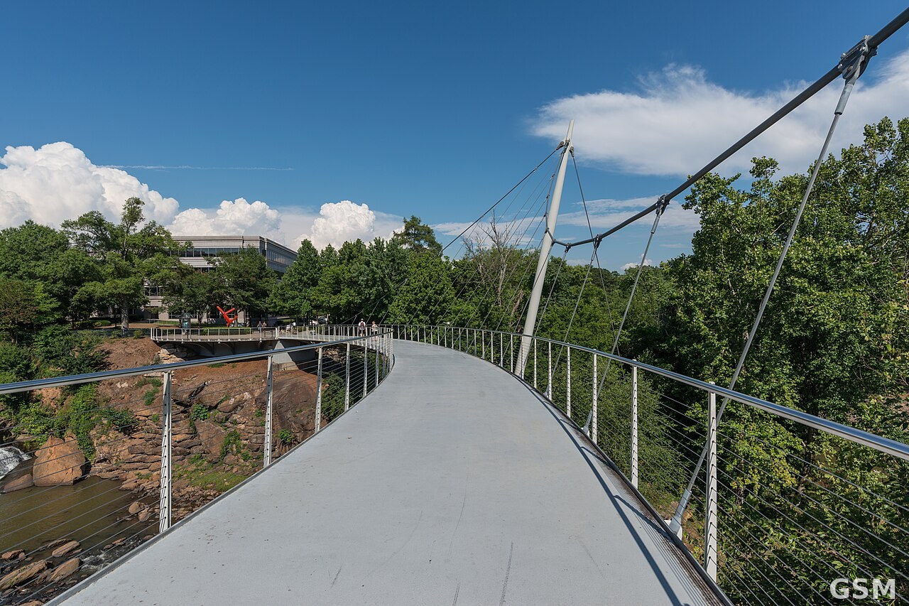
Photo: 图:格林维尔 Falls Park 的 Liberty Bridge 与 Reedy River 瀑布。DXR 摄,CC BY-SA 4.0,经 Wikimedia Commons。 / Photo: Liberty Bridge and the falls at Falls Park on the Reedy, Greenville. By DXR, CC BY-SA 4.0, via Wikimedia Commons.