Follow-Up: Major Flooding Forecast for St. Johns River Near Cocoa as Astor Stays at Moderate Flood Stage
The National Weather Service office in Melbourne, Florida, updated its flood warnings on the morning of November 4: for the St. Johns River near Cocoa, about nine miles west of Cocoa in Brevard County, Florida, the forecast flooding was changed from moderate to major severity. Moderate flooding is occurring, major flooding is forecast by late this week, and the river is expected to remain at major flood stage into the weekend, with the warning in effect until further notice.
The river near Cocoa was at 16.7 feet at 8:15 a.m. EST on November 4, above the 16.0-foot flood stage and the 15.8-foot bankfull stage, and is forecast to keep climbing through moderate flood stage to major flood stage late in the week. At 17.0 feet, some roads in the Silver Pines subdivision in Rockledge would flood and water would approach low-lying homes, with yards, ditches and pastures flooded along Pluckebaum Road in Cocoa and Rockledge and flooding of low-lying structures in the Lake Washington area of Melbourne.
Other reaches of the river are also rising. Near Astor, affecting Lake and Volusia counties, the stage was 3.3 feet at 9:30 a.m., above the 2.3-foot flood stage, with moderate flooding occurring and forecast to continue through the weekend after a gradual decline over the next couple of days; canals have overflowed into yards, homes on or near Wildhog and Bonnet roads have become inaccessible, and docks at Astor Bridge marina are completely submerged. Above Lake Harney in Seminole County, the stage was 8.5 feet and is forecast to rise to 9.8 feet by Monday morning, climbing from minor to moderate flooding, with rises near major flood stage possible late this weekend. Near Sanford, also in Seminole County, the stage was 5.1 feet and is forecast to reach minor flood stage tomorrow afternoon and rise to 6.4 feet by Monday morning, while near DeLand, affecting Lake and Volusia counties, the stage was 4.0 feet and is forecast to rise to 4.7 feet by Sunday evening at minor flood stage, potentially nearing moderate stage thereafter.
The Weather Service urged motorists not to drive around barricades or through flooded areas and urged caution when walking near riverbanks, with the next statement due that evening.
Earlier in this event, GSM reported on November 2 that much of Florida was under flood watches and warnings with some areas in a state of emergency after record rainfall, and on November 3 that 25 polling places in seven counties had been relocated because of flooding. This story reports the new river-stage developments in the same flooding event.
(Source: National Weather Service)
Source: National Weather Service
Published by GSM · USA (original Chinese edition)
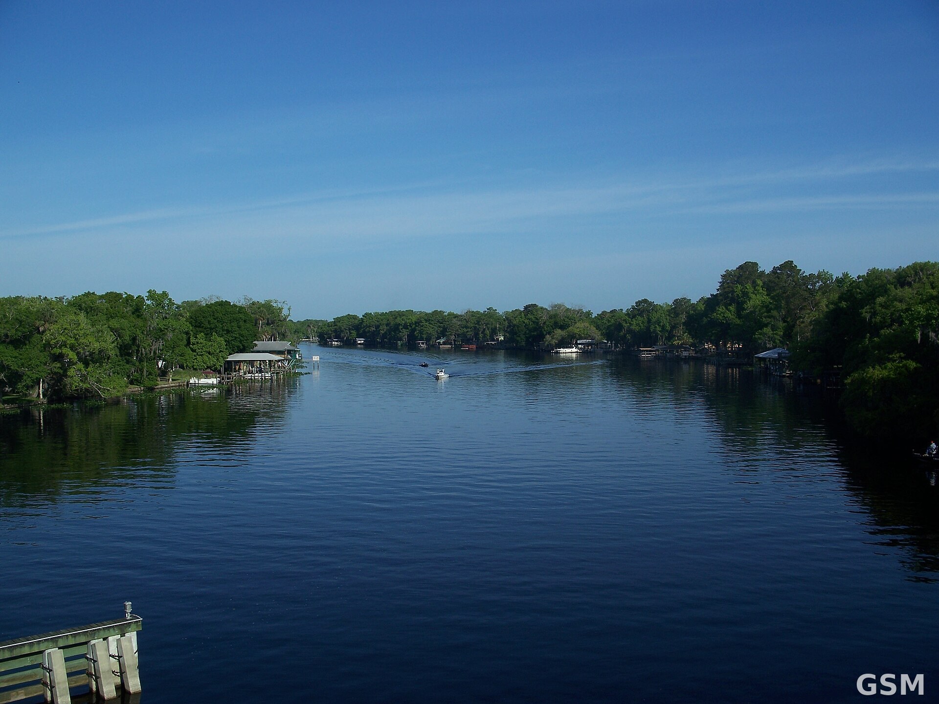
Photo: 图:佛罗里达州 Astor 的圣约翰河(资料图)。摄影 Ebyabe,CC BY-SA 3.0,经 Wikimedia Commons。 / Photo: The St. Johns River at Astor, Florida (file photo). By Ebyabe, CC BY-SA 3.0, via Wikimedia Commons.
- 2026-11-02Heavy Rain Floods Florida Streets: Up to 10 Inches Overnight, Schools Closed and Space Center Staff Sent Home
- 2026-11-02Follow-up: Much of Florida Under Flood Watches or Warnings, Several Areas Under a State of Emergency as Record Rainfall Causes Severe Flooding
- 2026-11-02Follow-Up: Florida Flooding Prompts State of Emergency Declaration; Brevard Schools Stay Closed November 3
- 2026-11-03Flooding Moves 25 Polling Places in 7 Florida Counties on Election Day: Brevard Voters Told to Check New Sites
- 2026-11-03Follow-Up: 24.69 Inches of Rain in Brevard County, Florida; More Than 100 Stranded Drivers Rescued
- 2026-11-04Follow-Up: Major Flooding Forecast for St. Johns River Near Cocoa as Astor Stays at Moderate Flood StageThis story